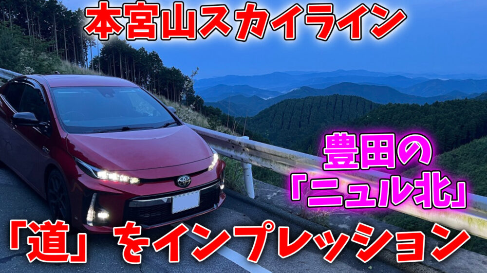
“Aichi’s Yabitsu Pass” and “Toyota’s Nuru” exist at the same time, and you can enjoy coming from the Nagoya area by passing through the mountains.
Honguyama Skyline is the most enjoyable winding road located in such a place.
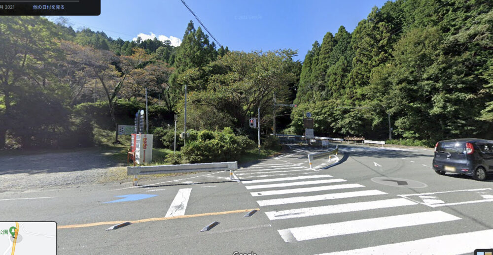
The map above probably shows the route via National Route 301 as the main route, but the route heading west is Honguyama Skyline, so be careful not to get confused.
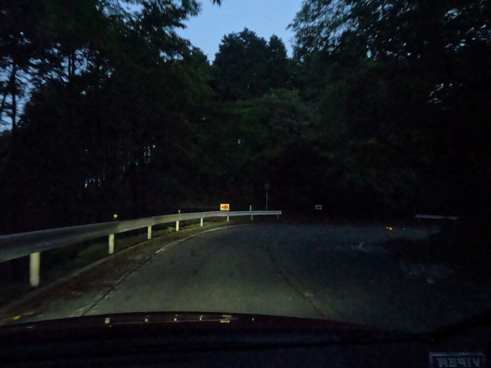
This time we’ll take the northbound route, but there’s a traffic light and a gravel parking space at the entrance, so you won’t make a mistake.
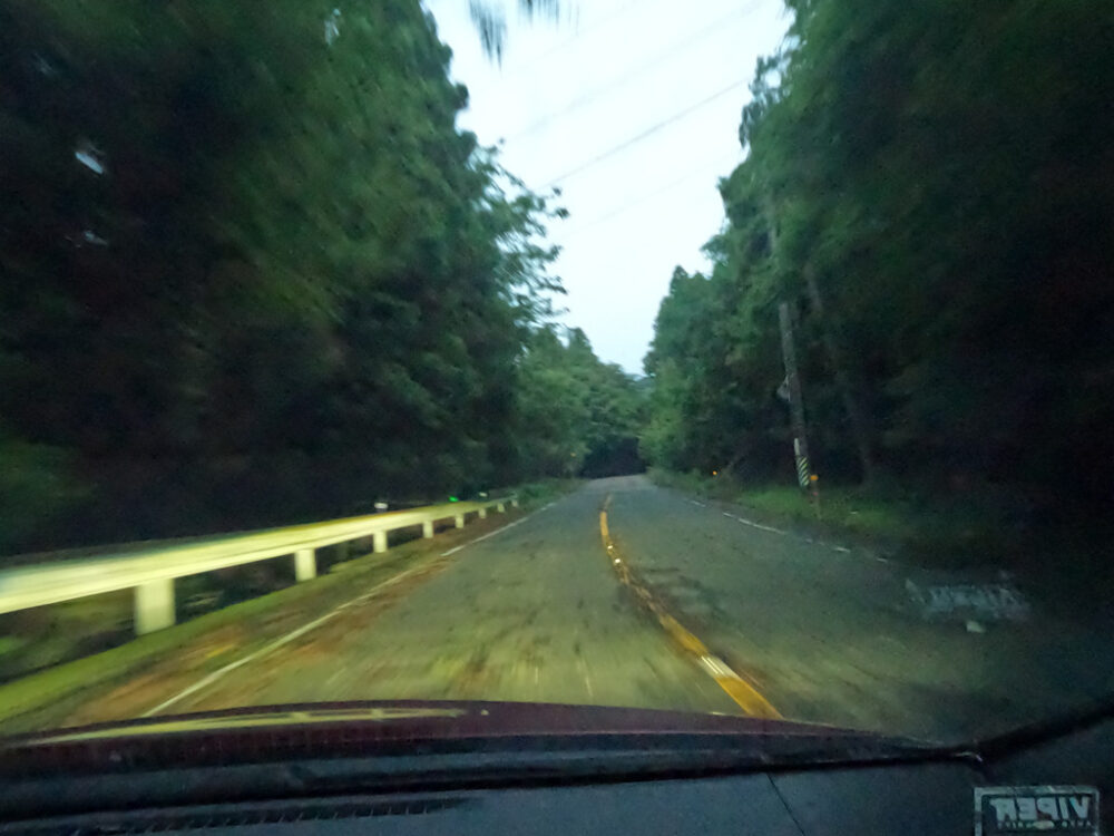
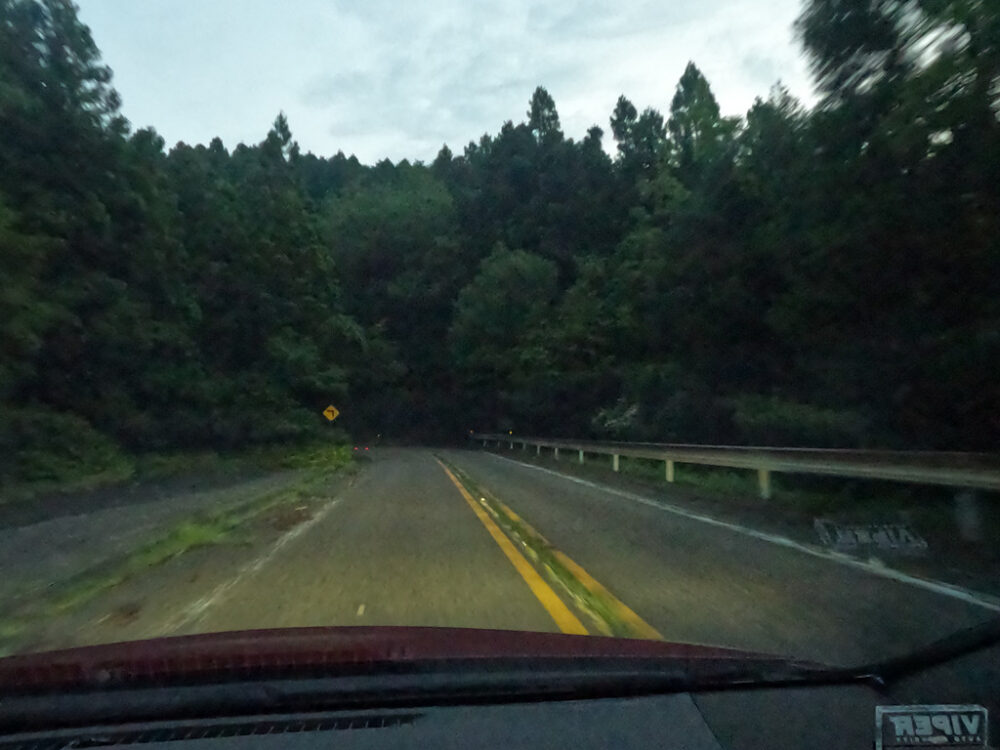
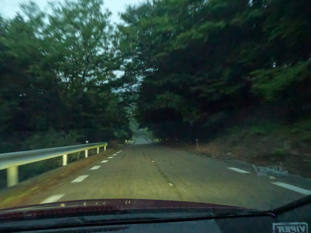
Immediately after entering, there are some sharp curves and uphill slopes for a while.
Honguyama Skyline runs deep in the mountains. I don’t know what the road conditions are like.
I once had to fully utilize ABS and apply full braking due to a log suddenly lying down.
It’s the street to the left of the thumbnail in the video above. This area is also frequented by deer.
Unlike humans, bouncing doesn’t make you a criminal, but Toyota City can’t let its guard down because this car could be scrapped in one go.
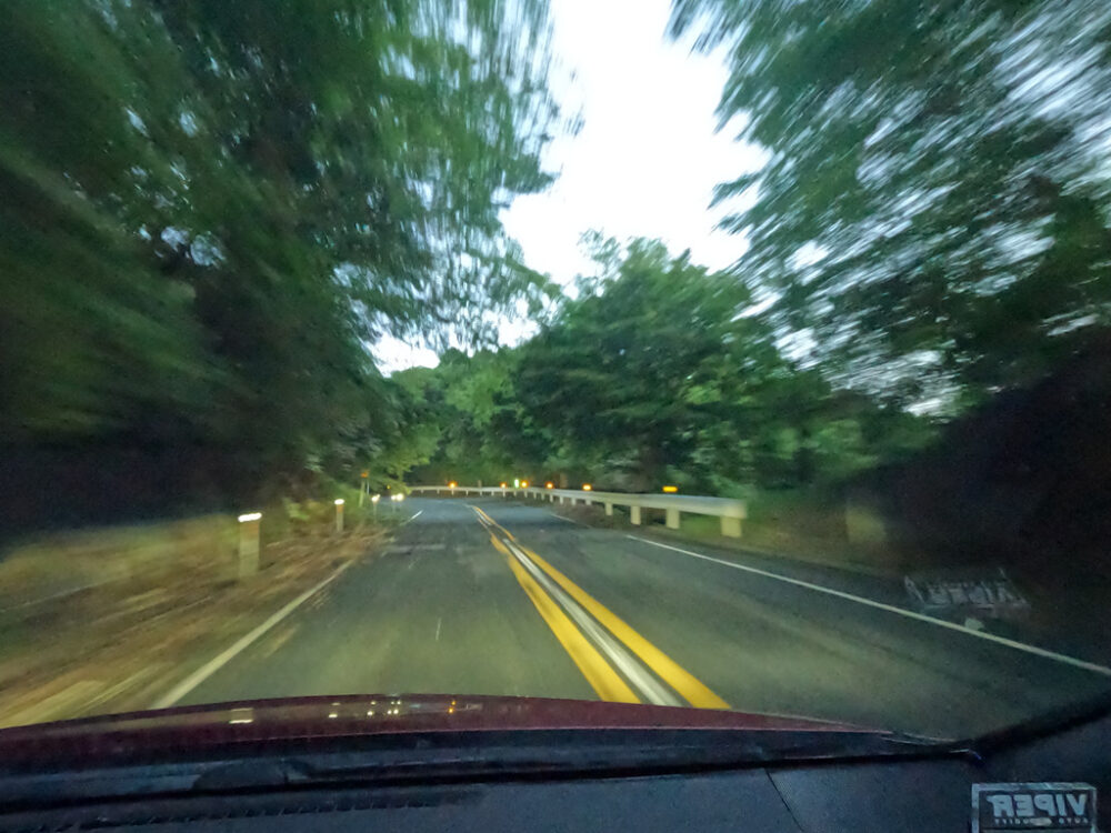
Also, especially after typhoons (heavy rain accompanied by strong winds), roads are often blocked by large branches and stones .
It’s a wild and awesome road, but keep in mind that it also comes with risks.
The biggest feature of the south side of the Honguyama Skyline is the grade-separated intersection .
Even though it’s a remote area deep in the mountains, we gain altitude by going around clockwise.
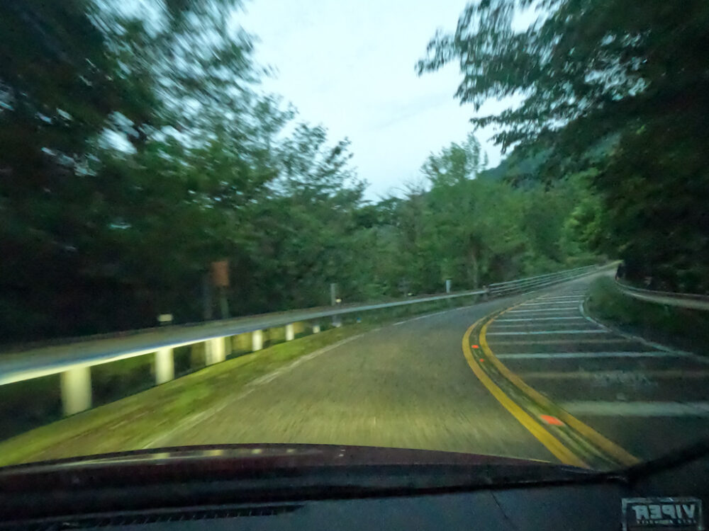
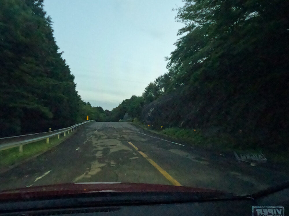
Parking strip-like spaces are also seen quite often.
Combined with the steep slope, the curve is quite steep.
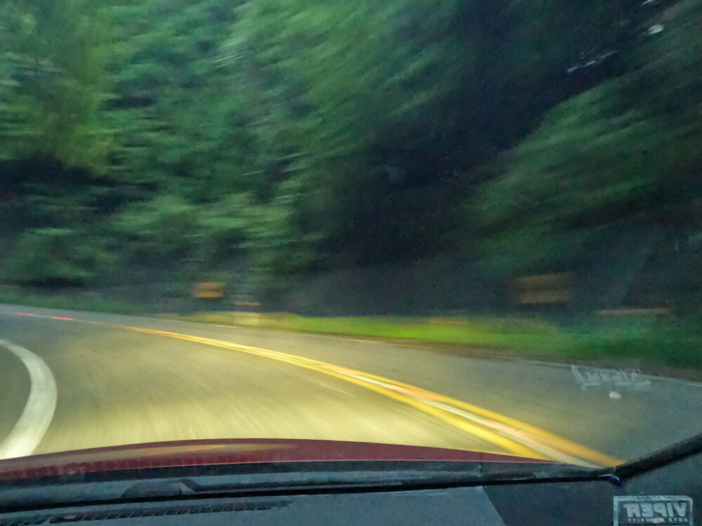
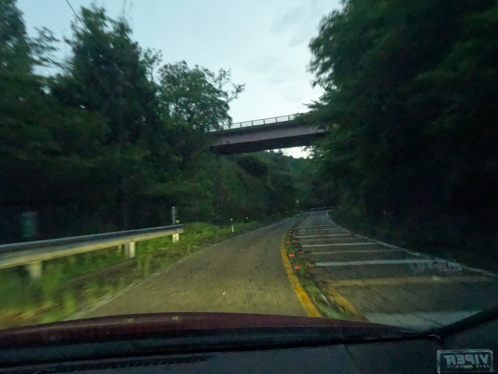
There are occasional straight lines where you can go full throttle.
I remember that when I pressed down on 2nd gear in the R35, it suddenly flew away.
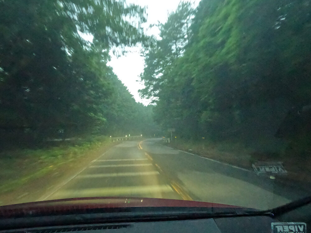
In this straight section, there is a big drop and a big climb.
It can be said to be a famous straight line with very good visibility and suitable for lane photography.
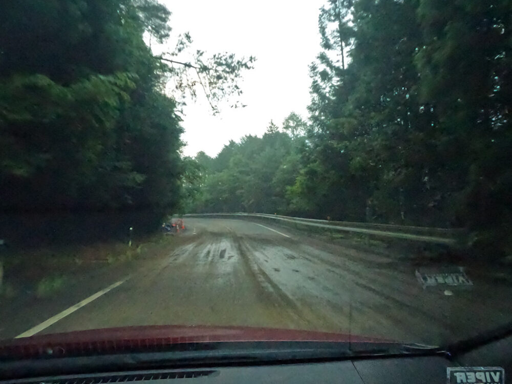
I mentioned earlier that the road surface was bad, but I have encountered several situations where the road surface looks like it’s been washed out.
The fender is covered in mud.
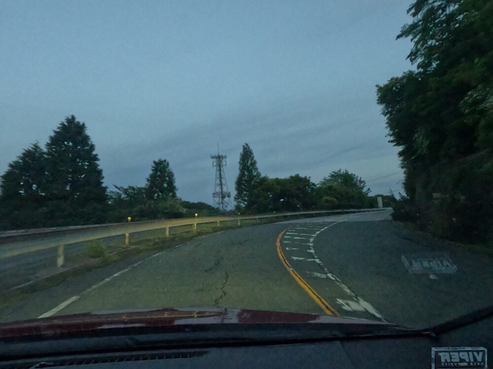
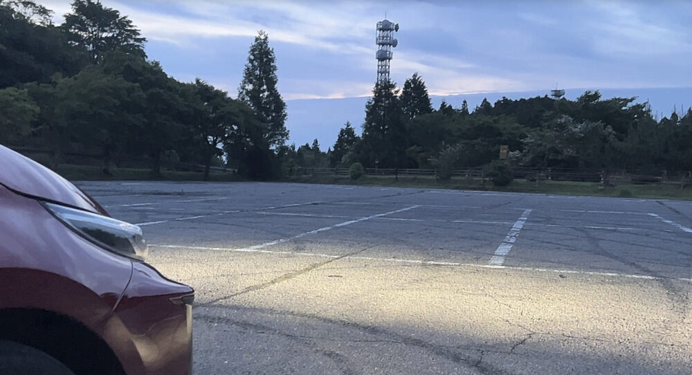
Approach the summit parking lot of Mt. Honguyama.
There seems to be a road on the left, but where does it lead?
By the way, although the mountaintop parking lot is large, there are no restrooms and no wheel blocks, so the remains of runners’ drifts remain.
I can’t understand why people who do this kind of thing would say bad things about the EV shift on the internet.
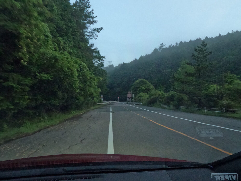
As you proceed north from the summit parking lot, you will temporarily descend.
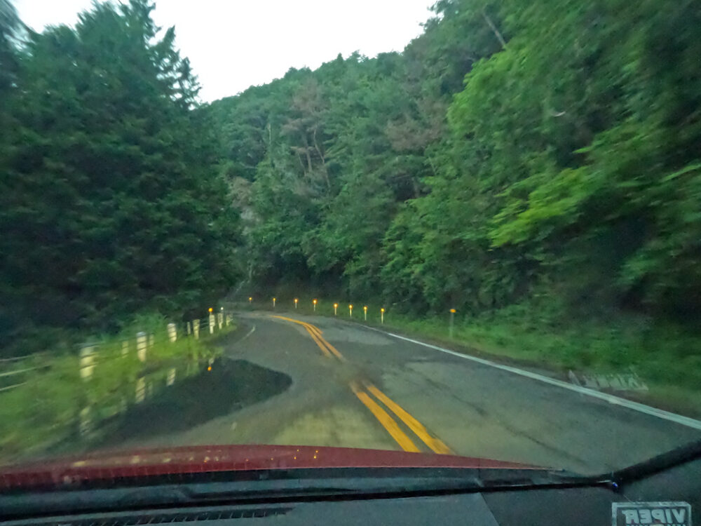
Just as it was getting dark behind the trees, we came to a sharp curve.
There seem to be quite a lot of communication facilities around here.
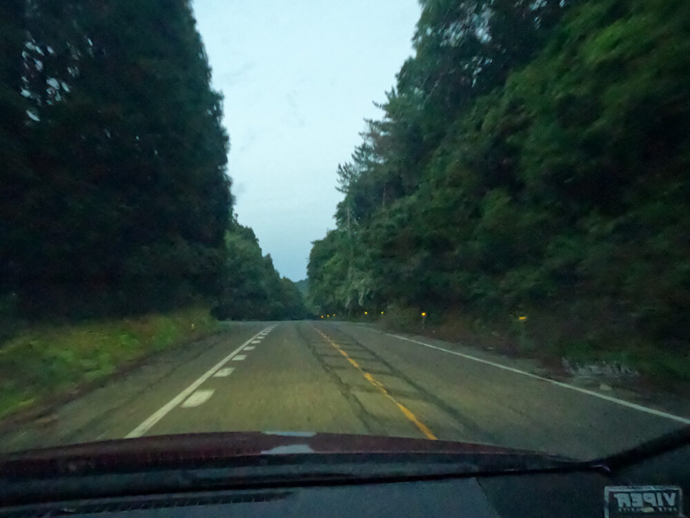
The track continues to run smoothly for a while, but if you check for obstacles and try to avoid accidents even on the second run, there will be a limit to how fast you can increase your pace.
There is a puddle of unknown depth where the left tire rides. It rolled up in a big way.
This time it’s covered in mud.
If you see something like a building on the right side, it will be the final stage.
It is a facility called “Onikubo Fureai Hiroba” that includes a museum and a pension.
I would like to stay here someday and drive there in the morning.
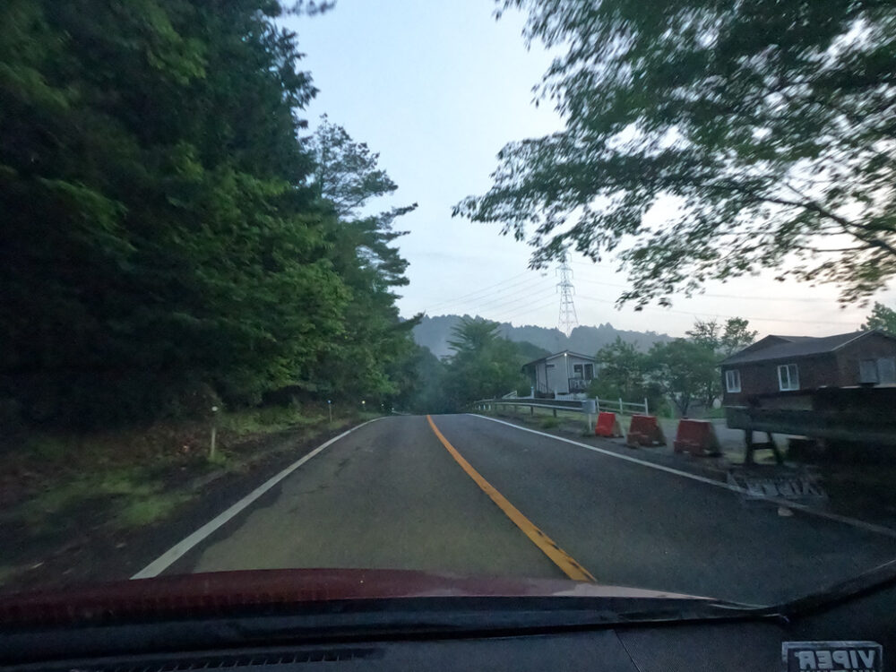
Just run a little and it’s over.
About 1km east is the roadside station Tsukude Handicraft Village, so it might be a good idea to take a break there.
I will now take the route that passes through Kurogari Valley and descends to the west.