
To put it simply, the driving/touring route we will be introducing this time is the “lower road version of the Ena Gorge Tunnel.”
Route 153, which has been running through the mountains from Toyota City, turns towards Nakatsugawa.
The route ends up at the Nakatsugawa Interchange on the Chuo Expressway, so it’s a well-balanced day trip route from Nagoya, and if you don’t have enough stamina, you can return home via the Enakyo Tunnel from the Sonohara Interchange.
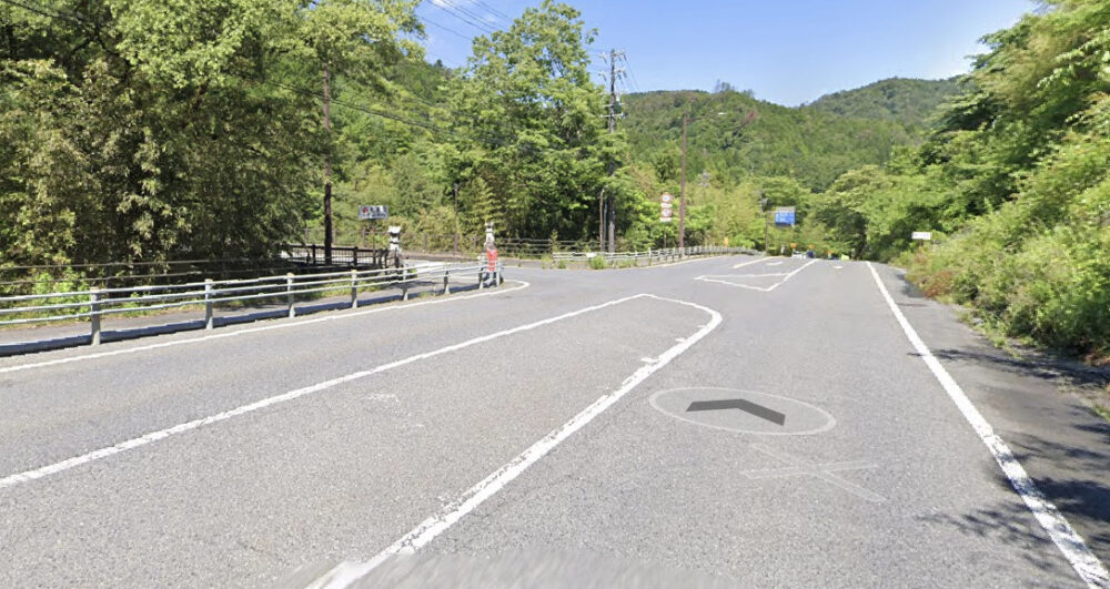
So, we started at the intersection after descending the mountain from Route 153, where we curved to the left.
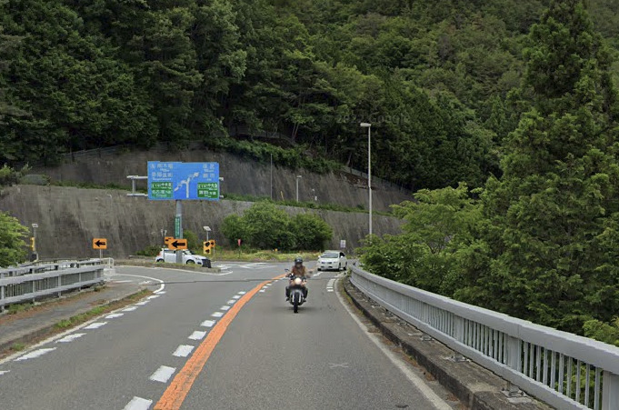
In the previous article, I went straight from here and stopped at Furatto Park in the Achi parking area.
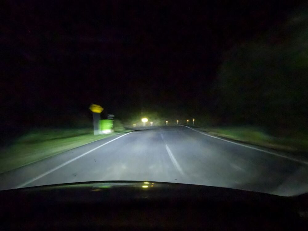
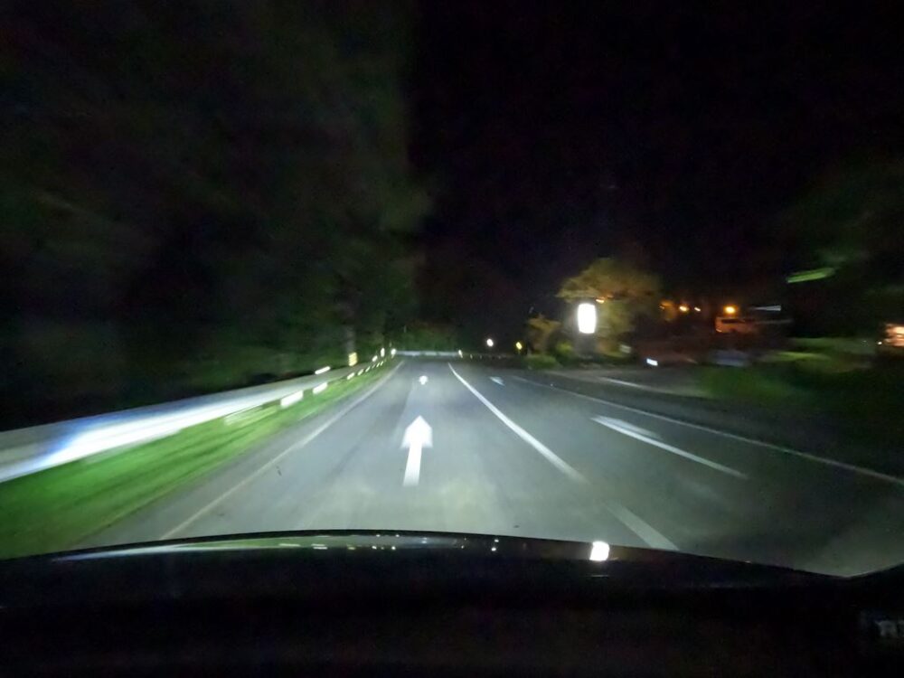
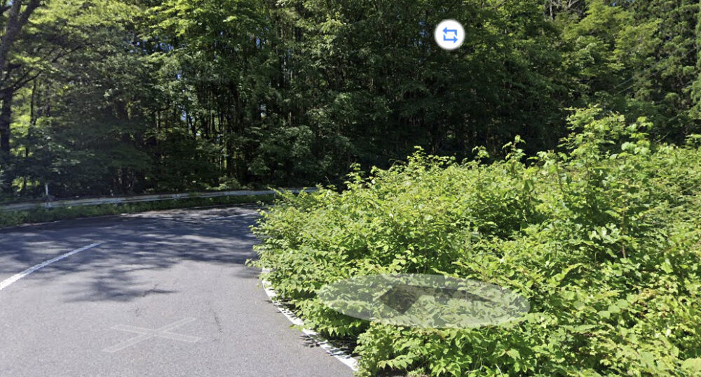
At this stop, you will merge with Route 256.
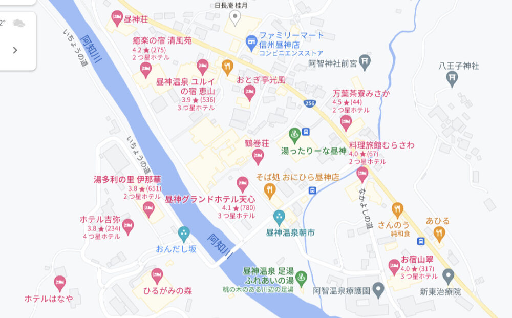
It may seem sudden, but this is a hot spring town.
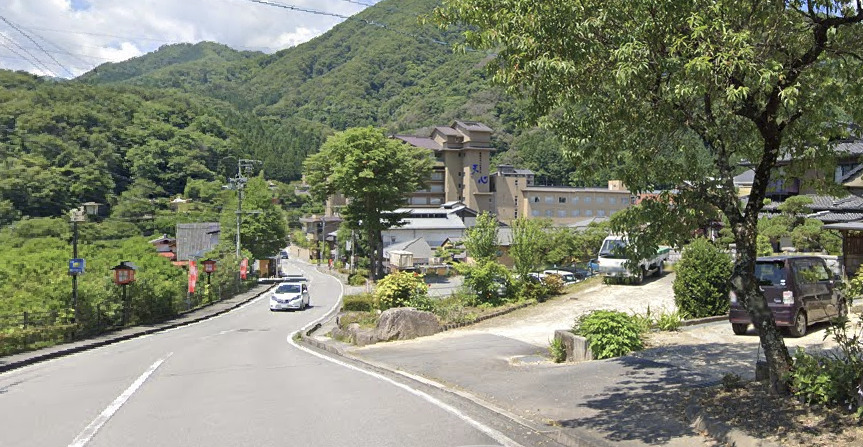
Even a quick look at Google Maps shows that there are so many hot spring inns and hotels.
The view of the Achi River is quite nice, and there seems to be a footbath nearby.
You can even come from Nagoya city just to stay overnight here.
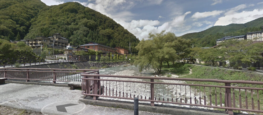
I took advantage of the quietness of the PHV and walked through the cherry blossom trees along the river, and it looked like a high-class inn.
There are places that you can always come to if you want to, but you’ll never have the chance to come again.
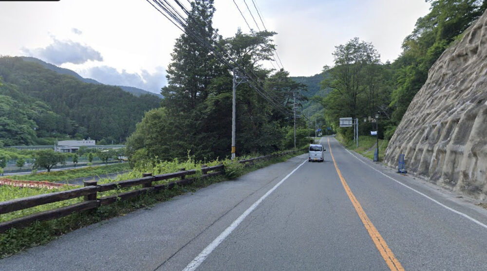
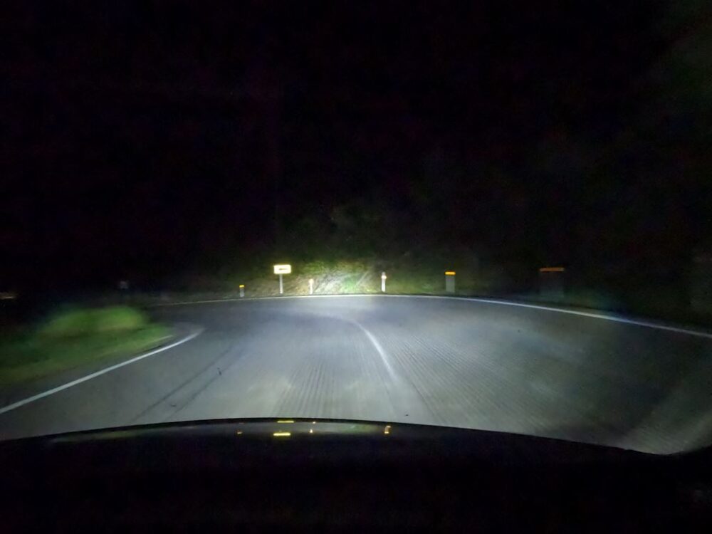
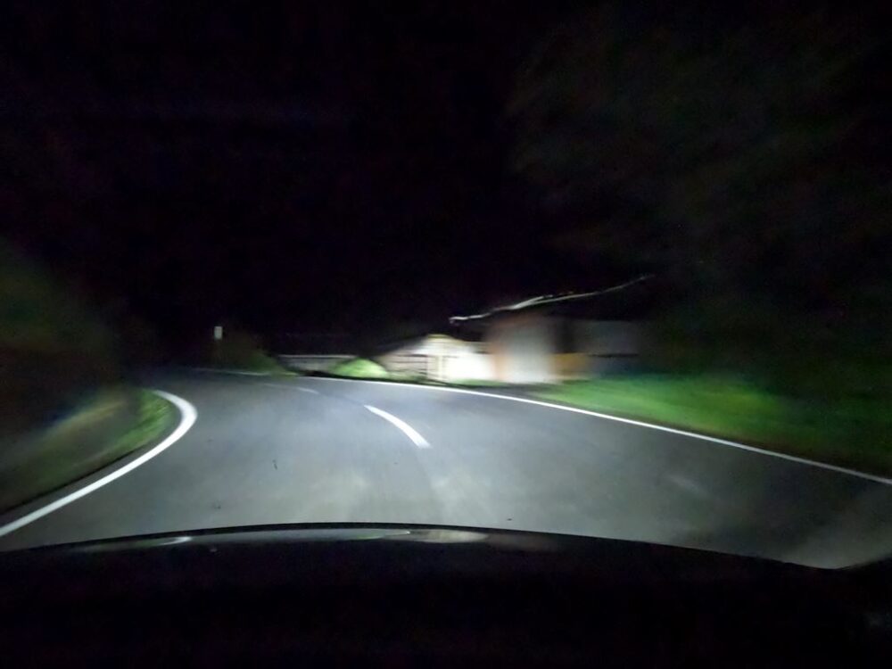
Climb up a fairly steep slope and merge with the main road.
It’s such a scenic road. While looking at the river on the left, I raced along the winding windings above the cliffs.
By the way, if you turn left here, you will actually enter the Chuo Expressway interchange just before the Enakyo Tunnel. Good to remember.
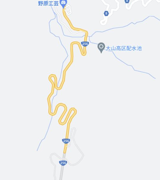
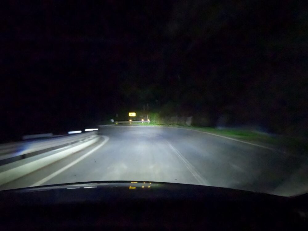
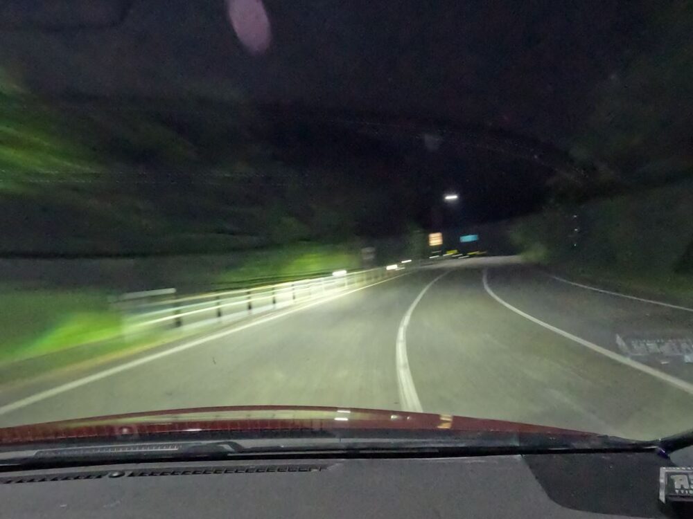
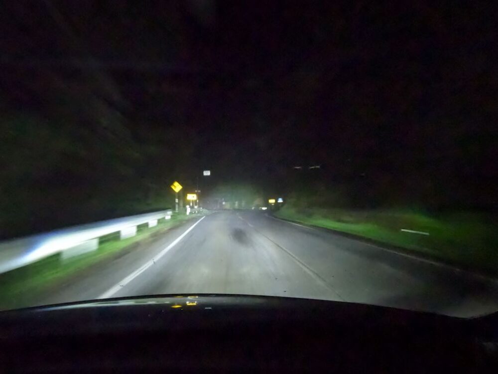
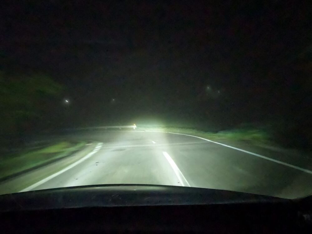
Well, from here on out, the winding winding continues.
It lasts for so long that you wonder, “How long will it last?”
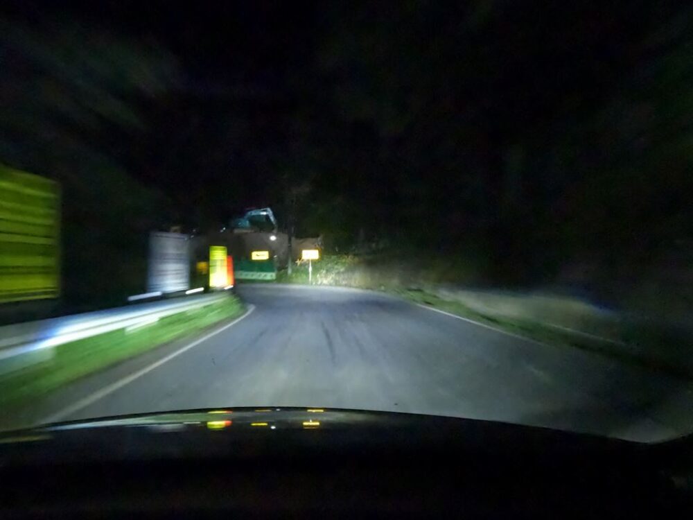
At one point, while cutting through the village,
Another time, I was running along a cliff with a series of sharp curves.
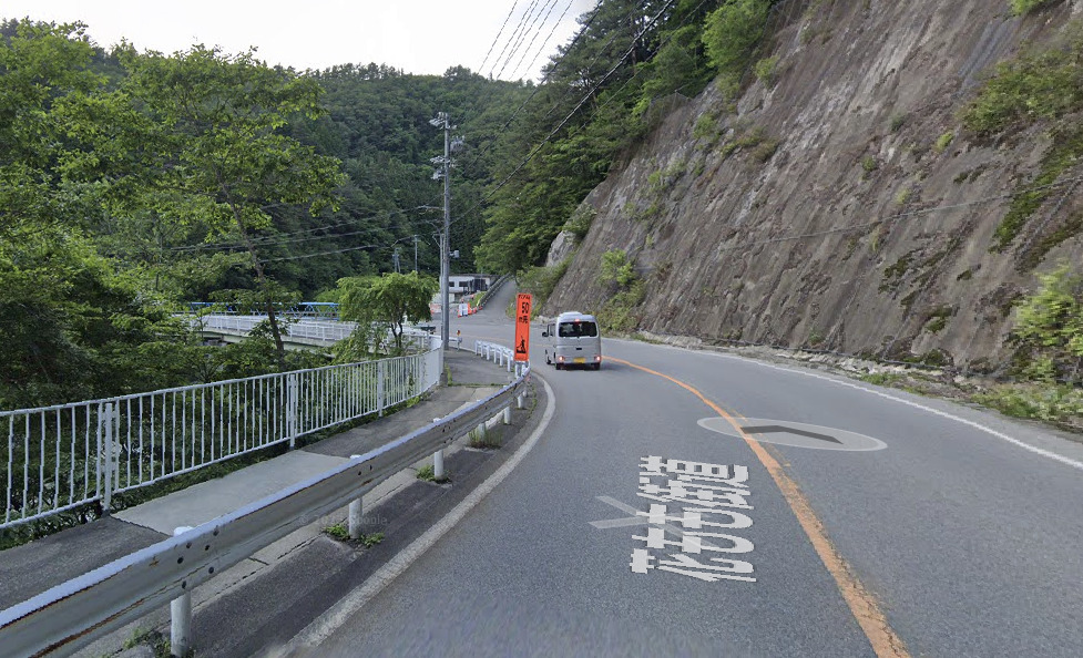
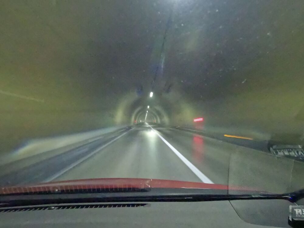
Along the way, the trail passes through the Kiyonaiji Tunnel, but after passing through it becomes a steep section comparable to the series of hairpins on Mt. Haruna.
This is what I see when I zoom in on Google Maps.
There is so much space on the side of the road that it looks like it was created for a gathering of runners.
After that, I thought it was going to curve a little to the right, but then it suddenly made a 180-degree turn.
Isn’t it dangerous?
There are many. Although the road itself is wide, there are many dangerous elements such as changes in road surface conditions, speed, and centrifugal force.
I’m using the tires well, but to be honest, it’s really scary.
If you’ve only ridden a few times, you won’t feel like cutting down on the safety margin.
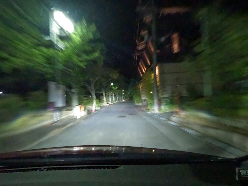
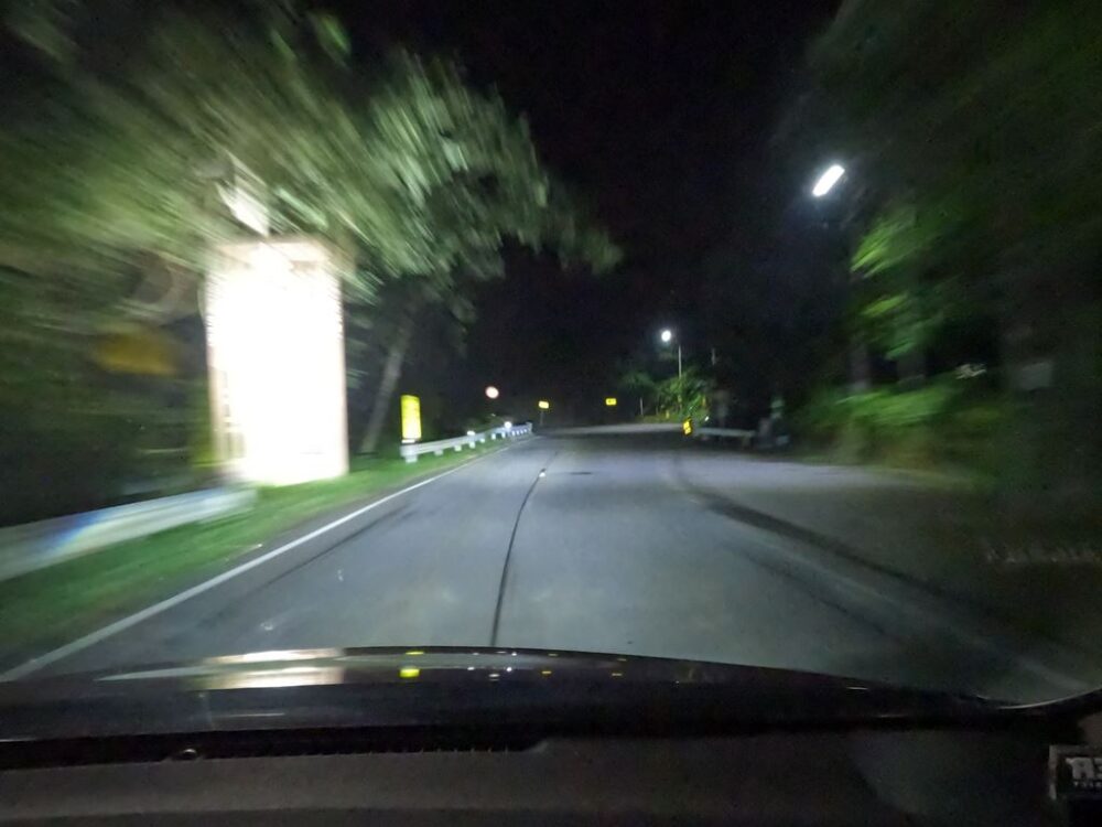
Can you feel the sense of speed from the photos?
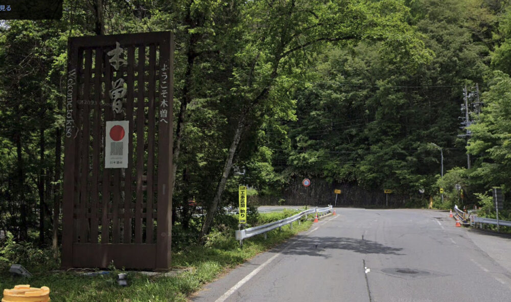
Once you pass the difficult part, or indeed all the sections introduced in this article are difficult parts, once you have settled down, you will see an unusual signboard on the left side.
This is what I see on Google Earth during the day. It says, “Welcome to Kiso.”
However, I would say that it is still too fast to feel relieved, or rather, only grandparents over 70 can run at a pace that would make them feel relieved.
Wild rock surfaces also appear. The forest is getting deeper and deeper.
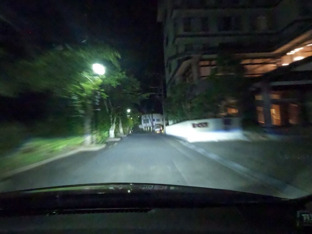
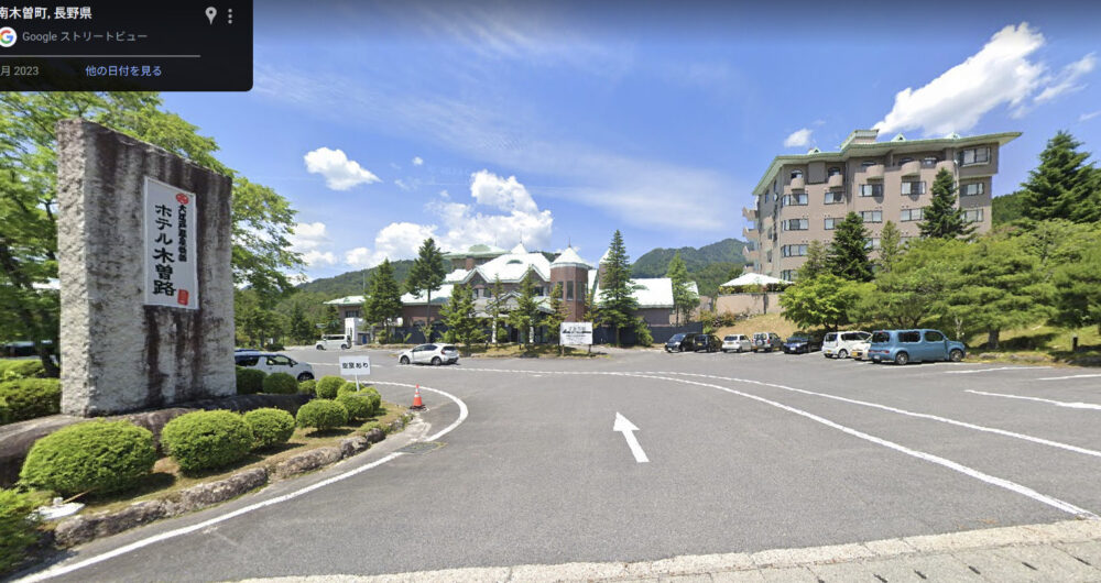
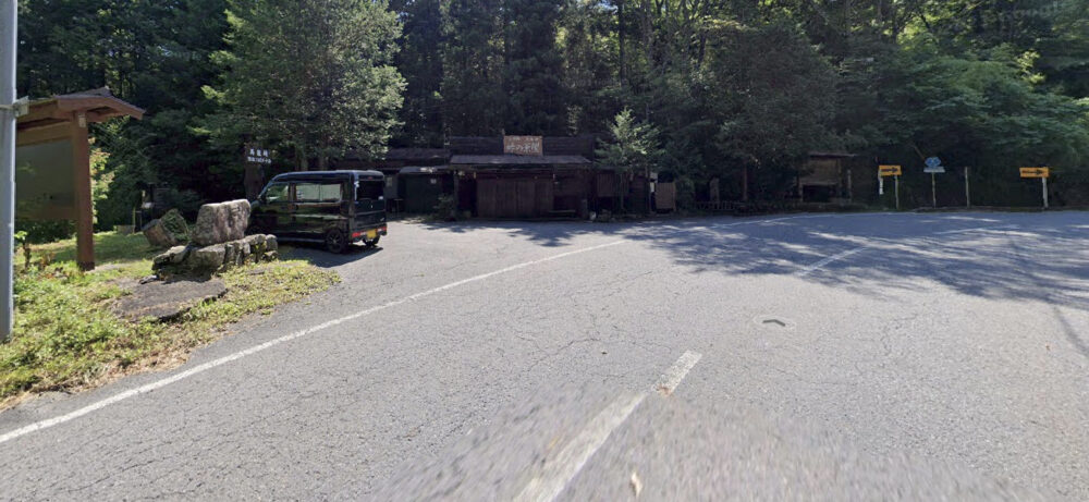
Around here, “Oedo Onsen Monogatari Hotel Kisoji” will appear on the right.
This is what it looks like during the day. I would like to come regularly someday.
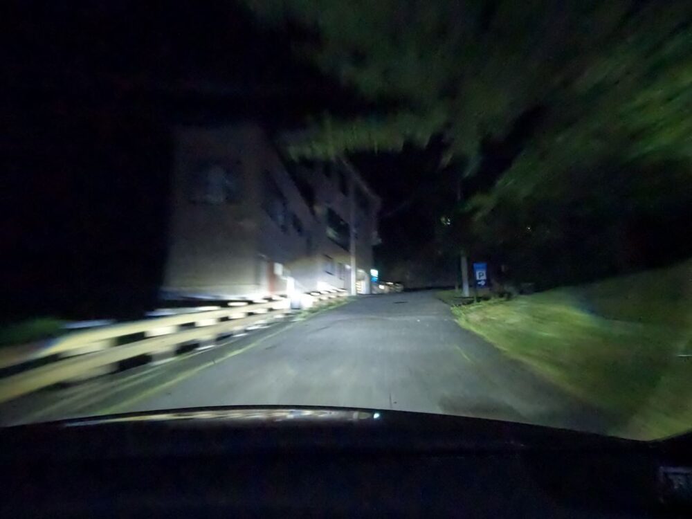
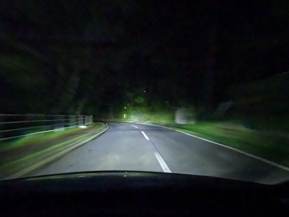
As usual, the roads are not friendly to beginners.
The overall impression here is that there are a series of corners with long turning times.

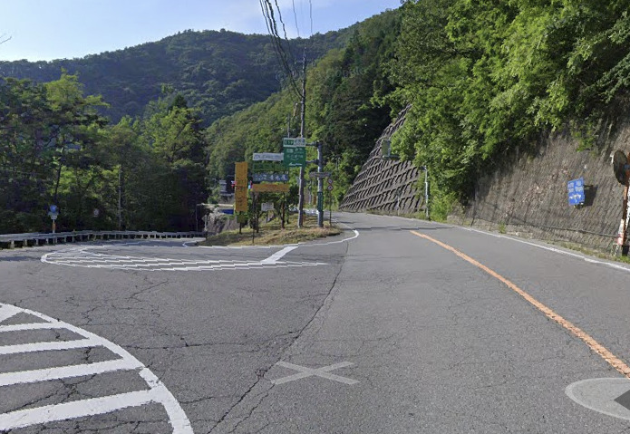
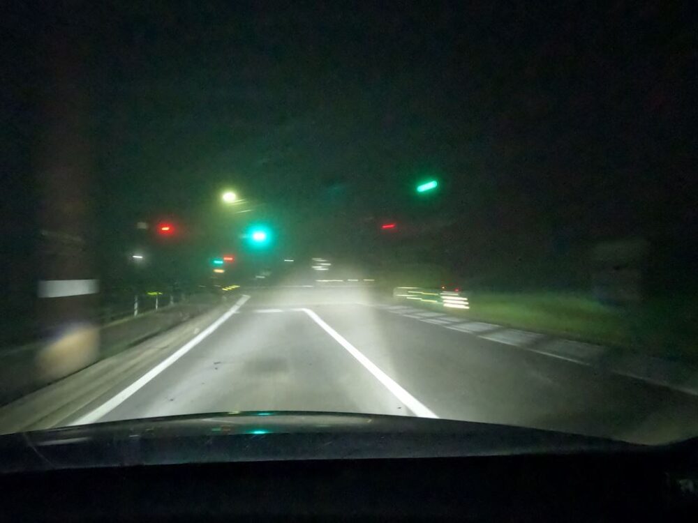
If you continue straight, you will merge with National Route 19.
However, I choose the route that jumps into Magome Pass on Nakasendo.
From the previous steepness, we jumped into a mountain pass on a completely different level.
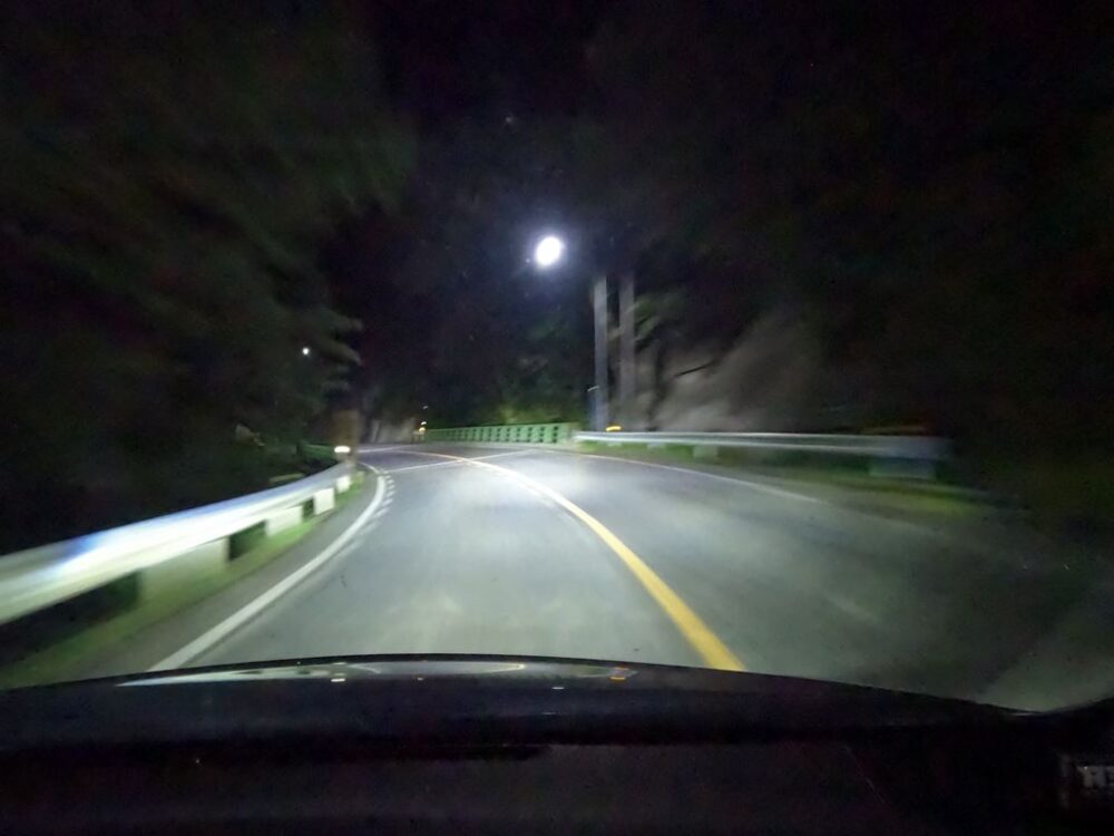
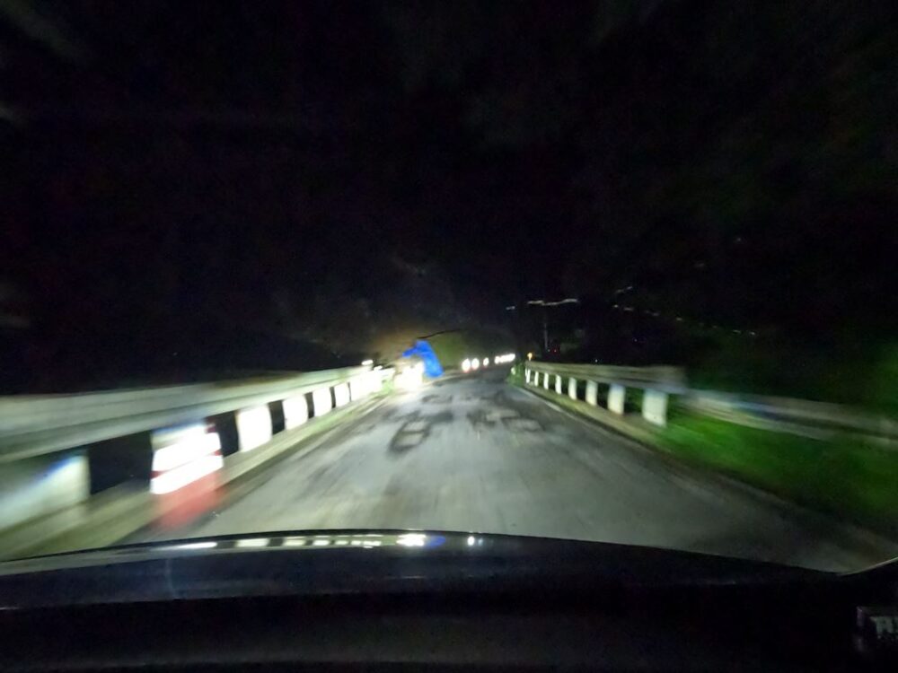
At the right curve, a bridge suddenly appears on the left.
It’s like this. The entrance is too cramped considering the speed of the road.
A level where you will overrun if you don’t slow down properly.
I, and this route, turn left here.
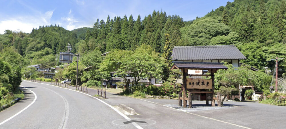
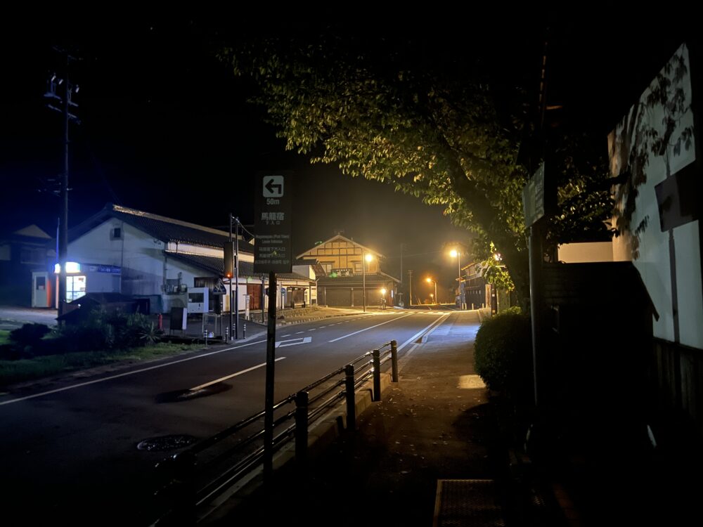
This route is the Nakasendo.
Although it is a small area, it is lined with old-fashioned townscapes and teahouses.
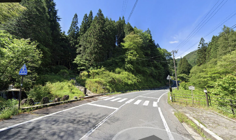
There is also a branch with the old Nakasendo road, and it is listed on Google Maps as “Kudaridani no Ichirizuka.”
Neither the old Nakasendo nor Route 7 are easy roads.
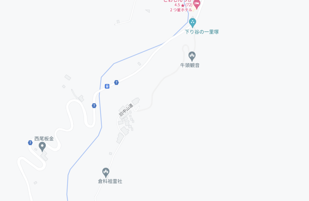
As you can see from the map, it continues to make U-shaped curves over and over again, gaining altitude.
And it will go down as much as it goes up.
The road itself is wide enough, but it is quite bumpy.
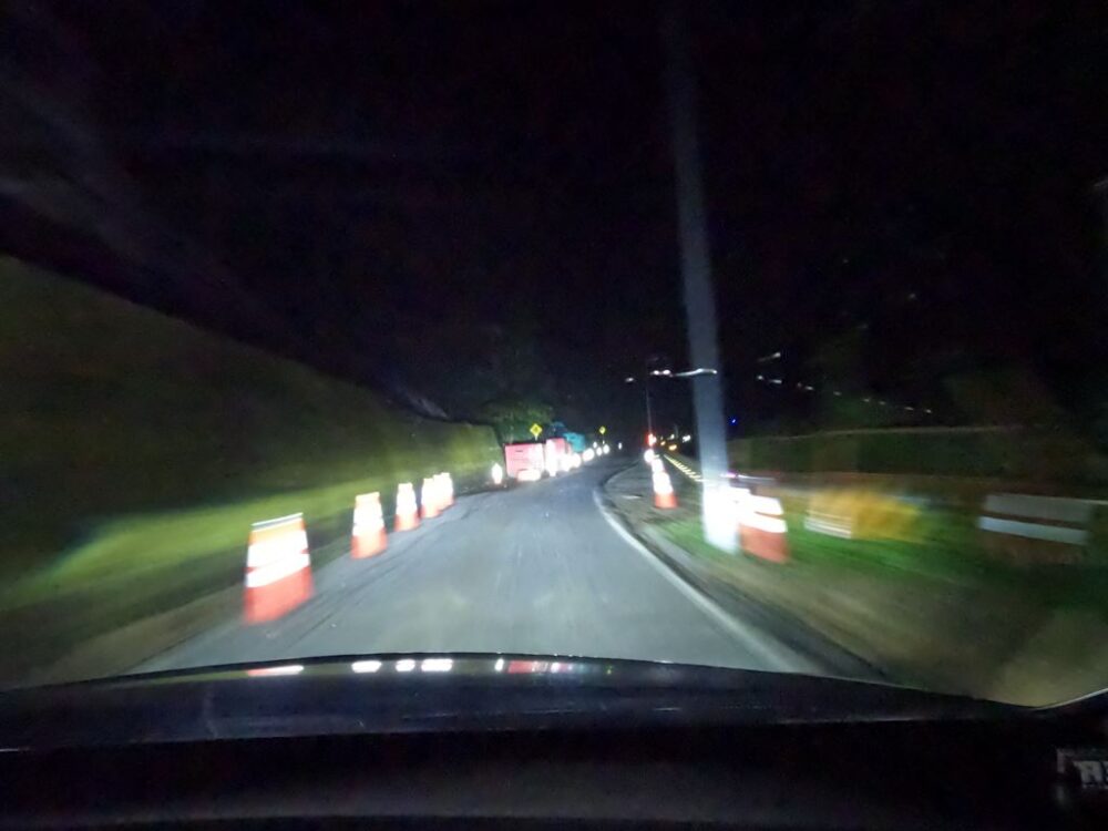
On the way, you will come to a bridge. There is no center line, and it appears that a landslide occurred and construction is currently underway.
It is a mountain pass that can be crossed in about 10 minutes by car, but in the past there was no air conditioning and you had to walk to get there.
It must have been very difficult…
There are two lanes with dotted white lines, but they are extremely steep.
Do you know the pain of having dozens of steep U-shaped curves with no end in sight?
It’s tough both mentally and in terms of engine heat.
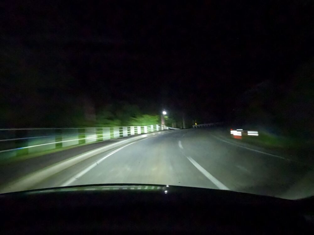
There was also fog near the top.
There is a tea house on the pass near where it joins the old Nakasendo.
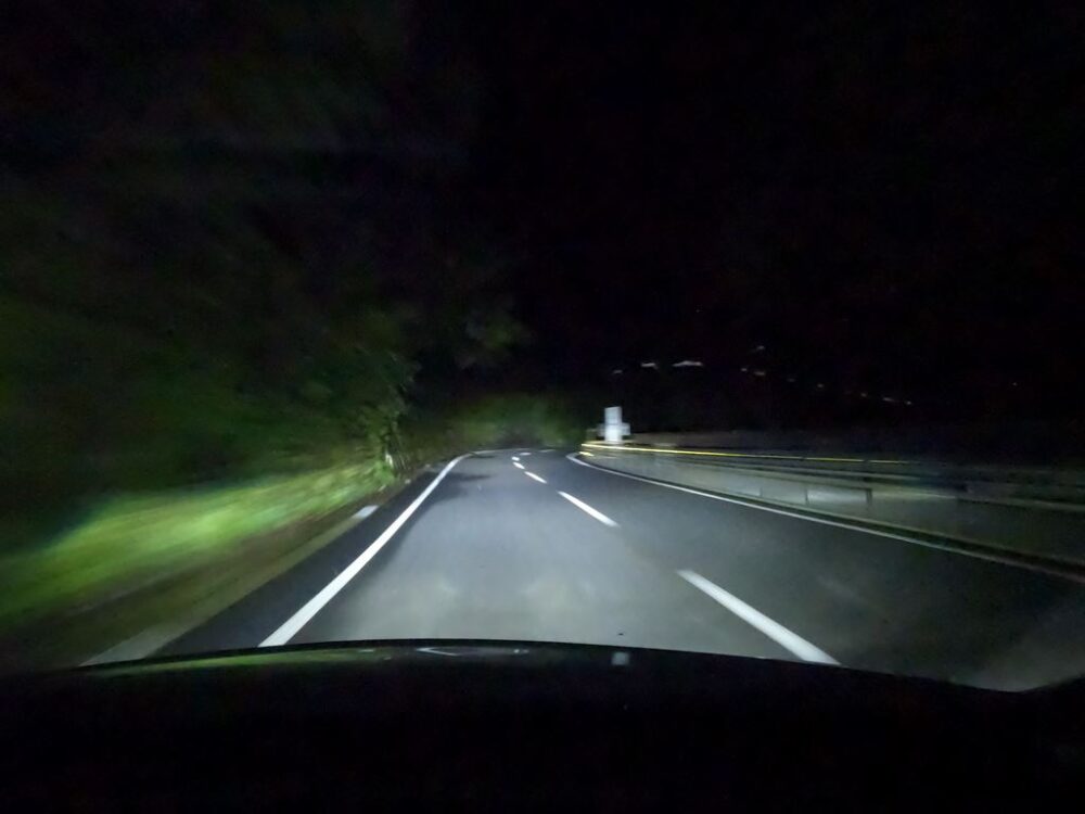
From here on, there are no more sharp U-shaped curves, but the trail continues to descend.
This is a section where the average speed is generally high.
The fog came out again.
Here, let’s take the route that takes us to Magome-juku on the Nakasendo.
After going down for a while, turn left at the traffic light.
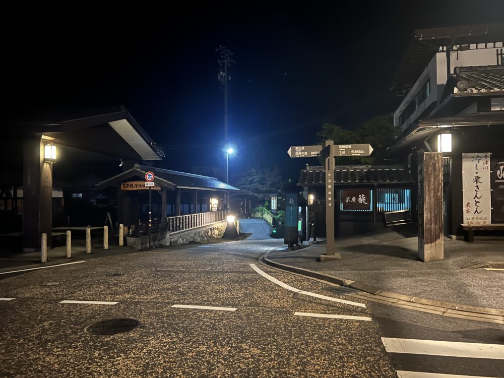
You will come to a place with such a view, but the parking lot on the right is for tourists. There are also public toilets.
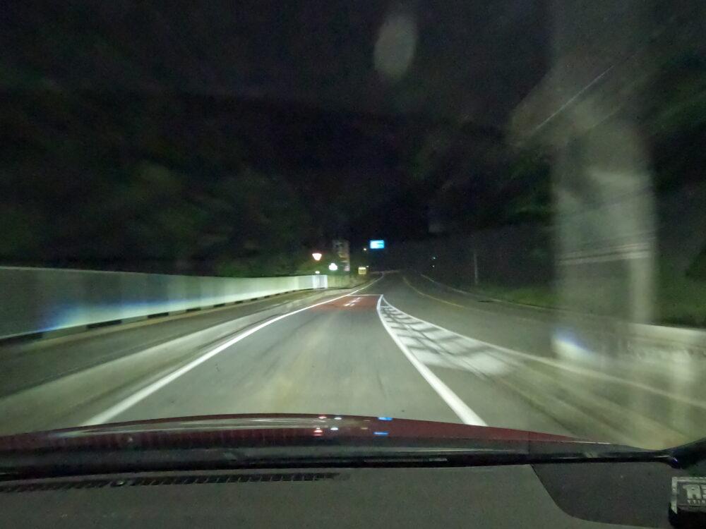
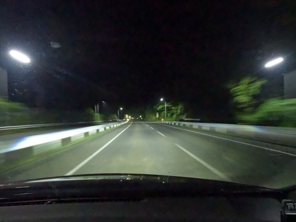
It’s quiet when you come late at night, but it’s still a nice view.
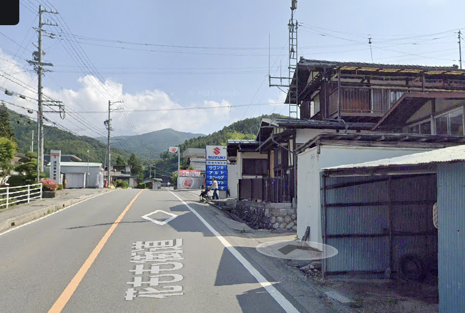
From here, you can reach Nakatsugawa National Route 19 main thoroughfare in just a few minutes.
There is also a Kansaka parking lot on the Chuo Expressway nearby, but please note that there is no smart interchange.
It seems that Furatto Park exists, but let’s take a break in the historic townscape of Nakasendo.
By the way, you can surprisingly easily return to Nagoya city by taking National Route 19 without taking the Chuo Expressway.
It’s not an easy or peaceful journey, but if you have the stamina to spare, it’s not a bad idea to take the downhill route and save on highway tolls.

