
For driving enthusiasts, what’s more important than the destination is the road itself .
From this time on, I would like to introduce some roads that I enjoyed running as a personal record.
I would like you to use it as a reference for your drive.
About National Route 303
According to Wikipedia, National Route 303 is a road that connects Gifu City, Gifu Prefecture to Wakasa Town, Mikata Kaminaka District, Fukui Prefecture.
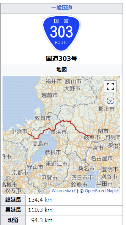
Among these, I am dealing with the mountainous area from Lake Biwa, passing north through Mt. Ibuki, and ending in the northwestern part of the Nobi Plain. Views of long tunnels, villages, and mountains. It is a long but very exhilarating journey.
Actual driving begins!
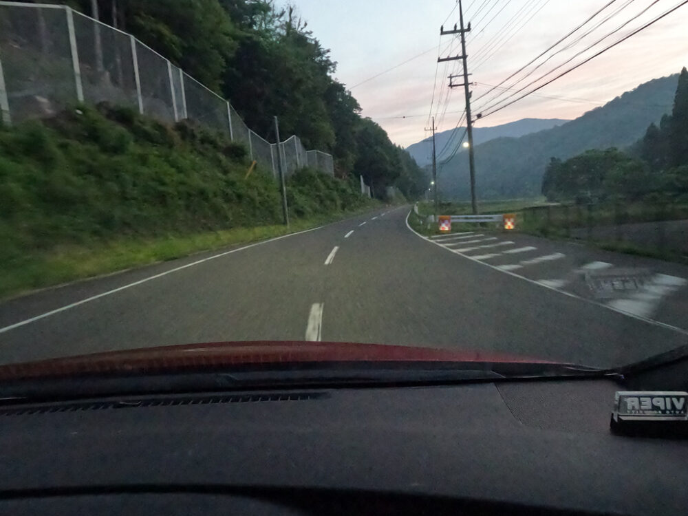
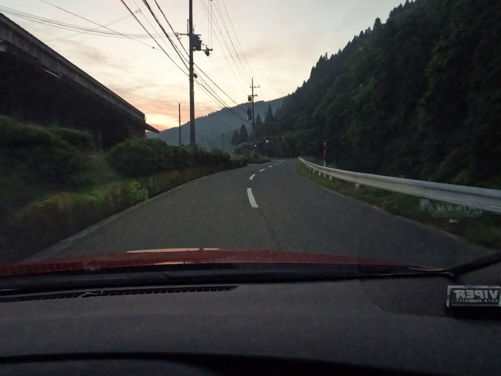
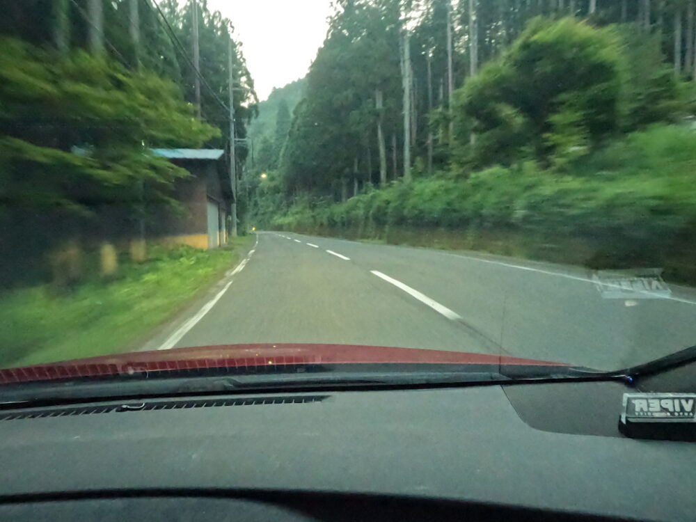
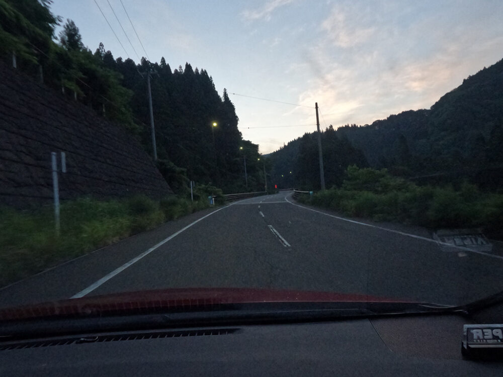
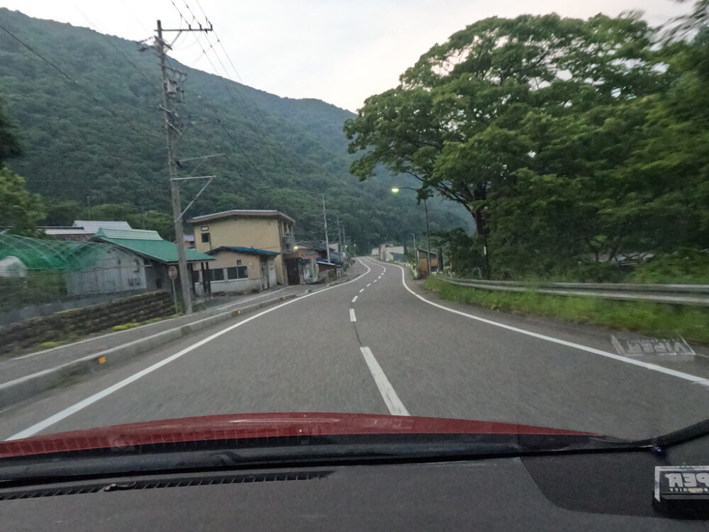
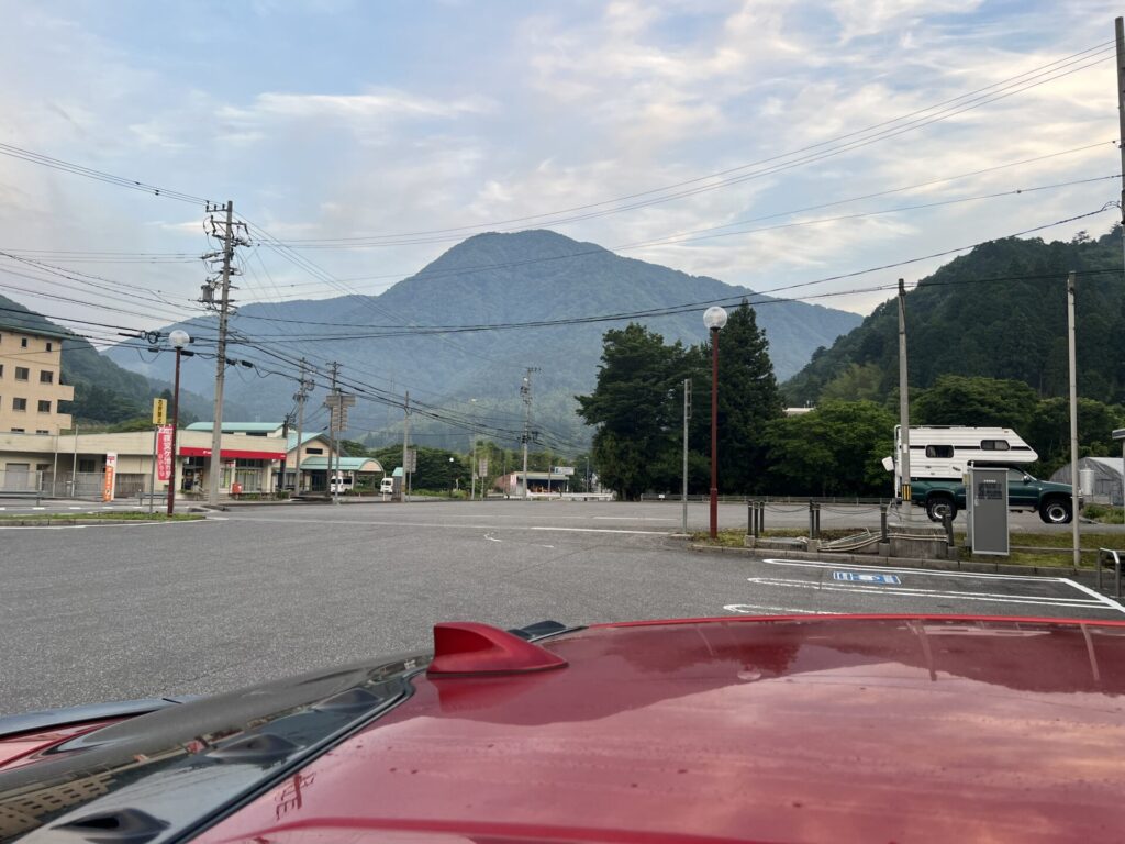
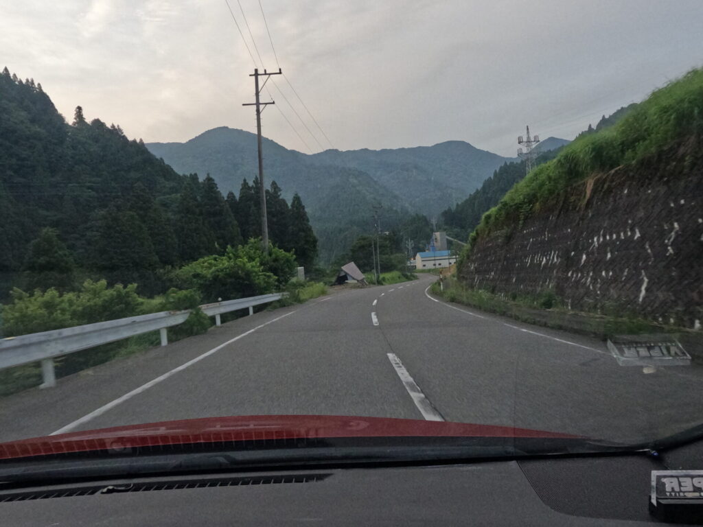
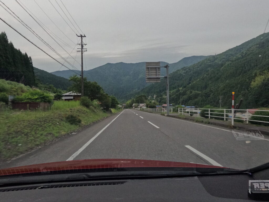
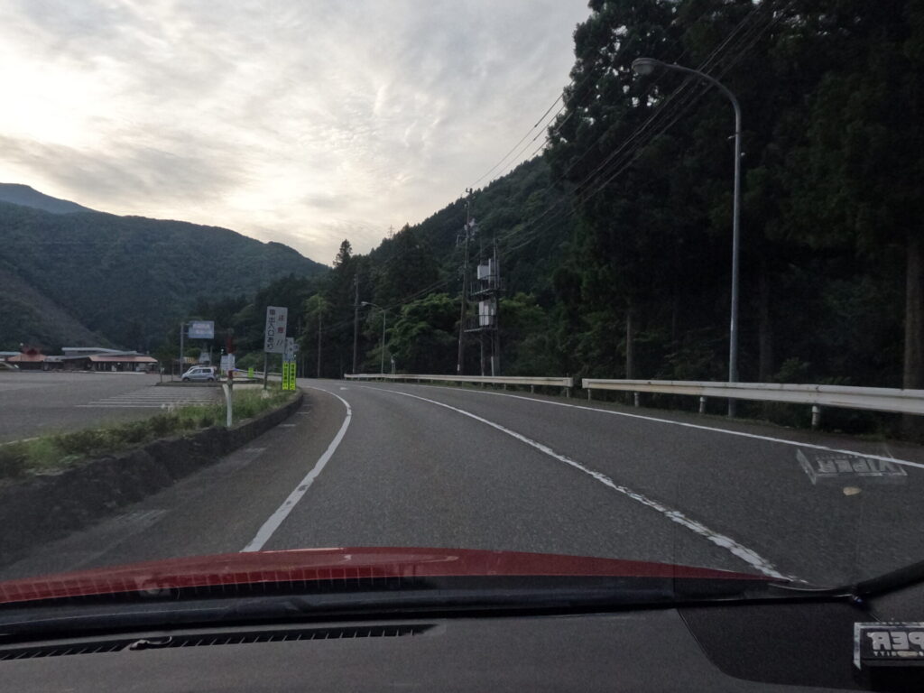
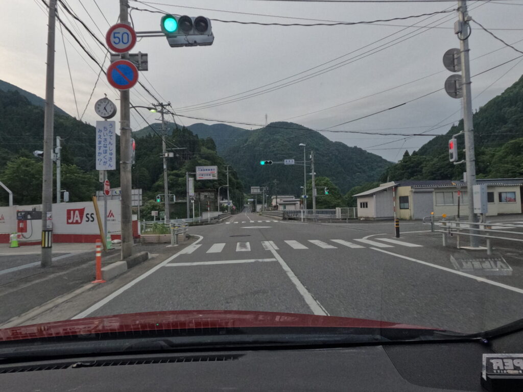
Let’s start at the intersection with the gas station.
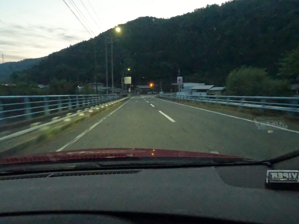
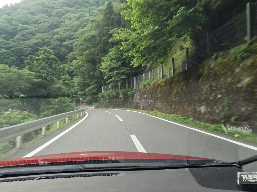
At first, the wide white dotted road continues through the large trees.
Keep in mind that you need to be careful about deer and people jumping out on the entire route.
The road surface will be clean for a while, but be aware that in combination with the rain, the build-up of braking force may be affected depending on the location.
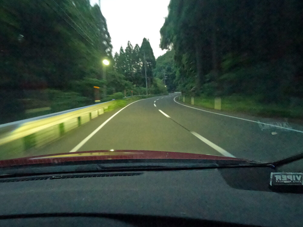
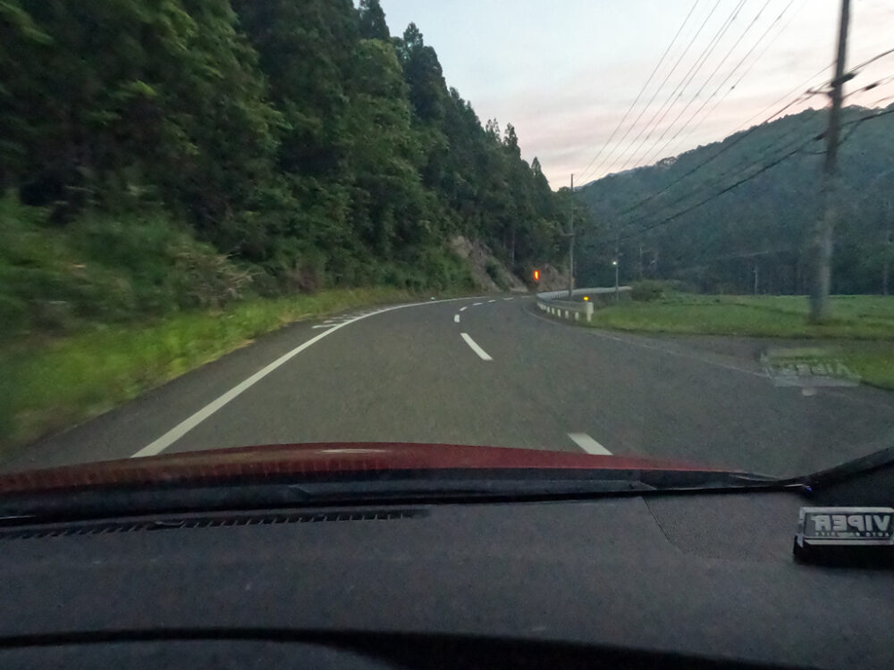
The white dotted line section continues for a while, but there are only a few times when you can safely exit.
If you’re going to stir it up behind the scenes, I recommend you pull it out as soon as possible.
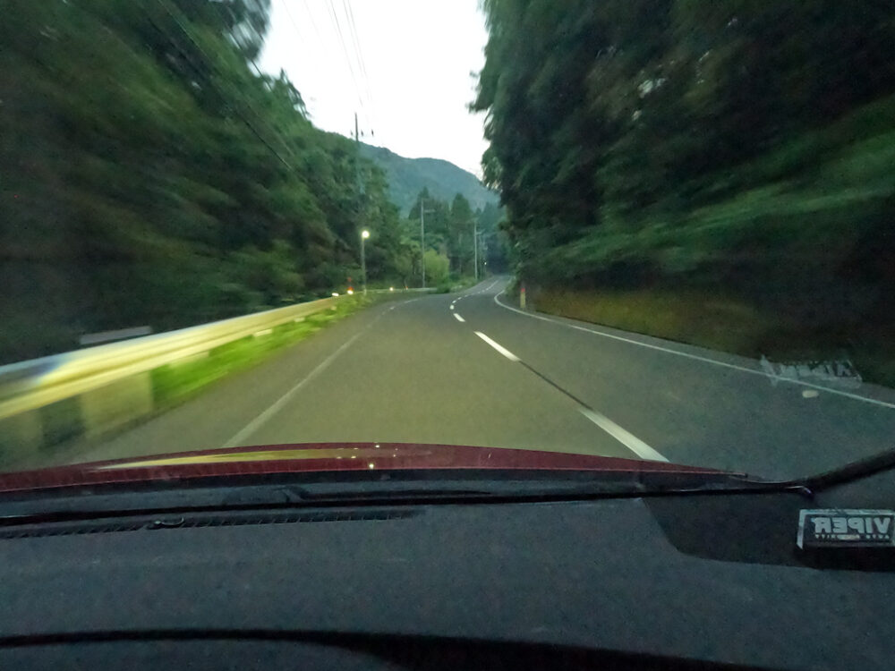
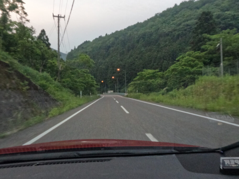
As is generally the case in this section, if you can see clearly in an area where there are no houses or facilities for human activity, it is possible to step on it all at once.
Even during the day, I turn on my headlights when driving at moderate speeds.
There won’t be any bathroom breaks for a while, but if the time and situation are favorable, there won’t be any stress at all.
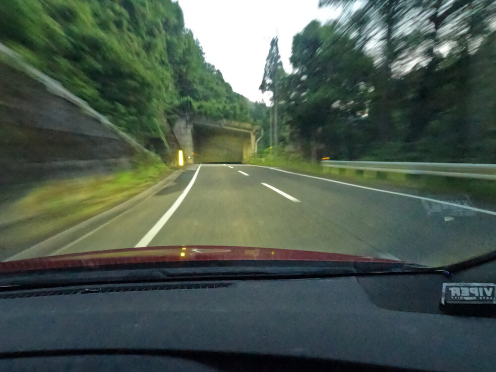
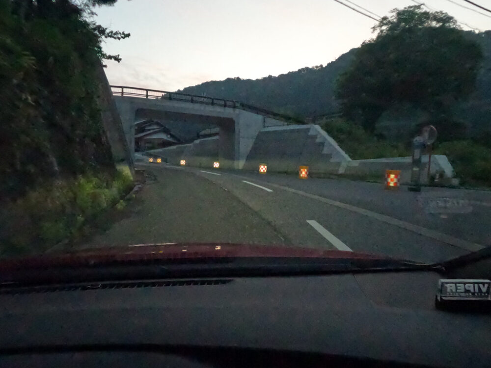
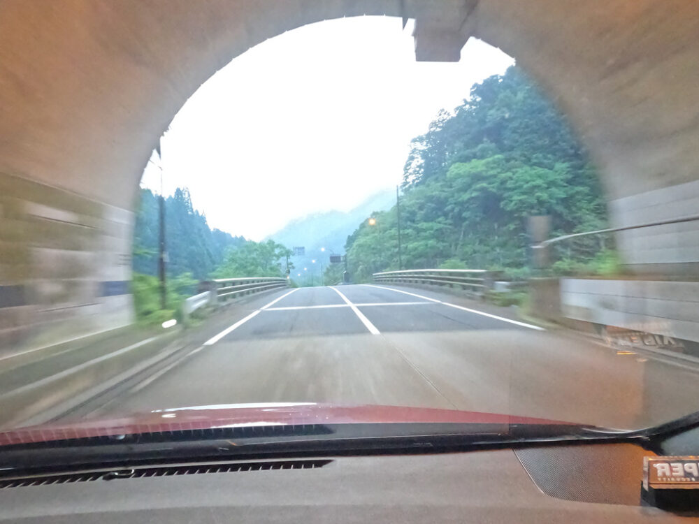
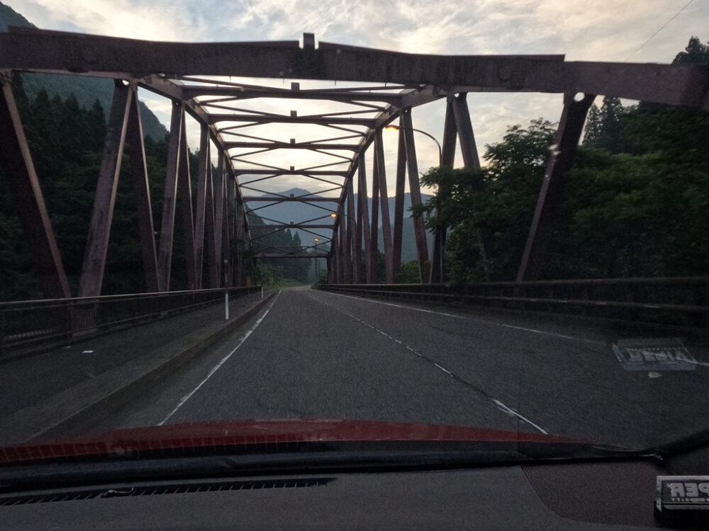
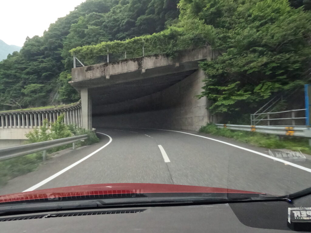
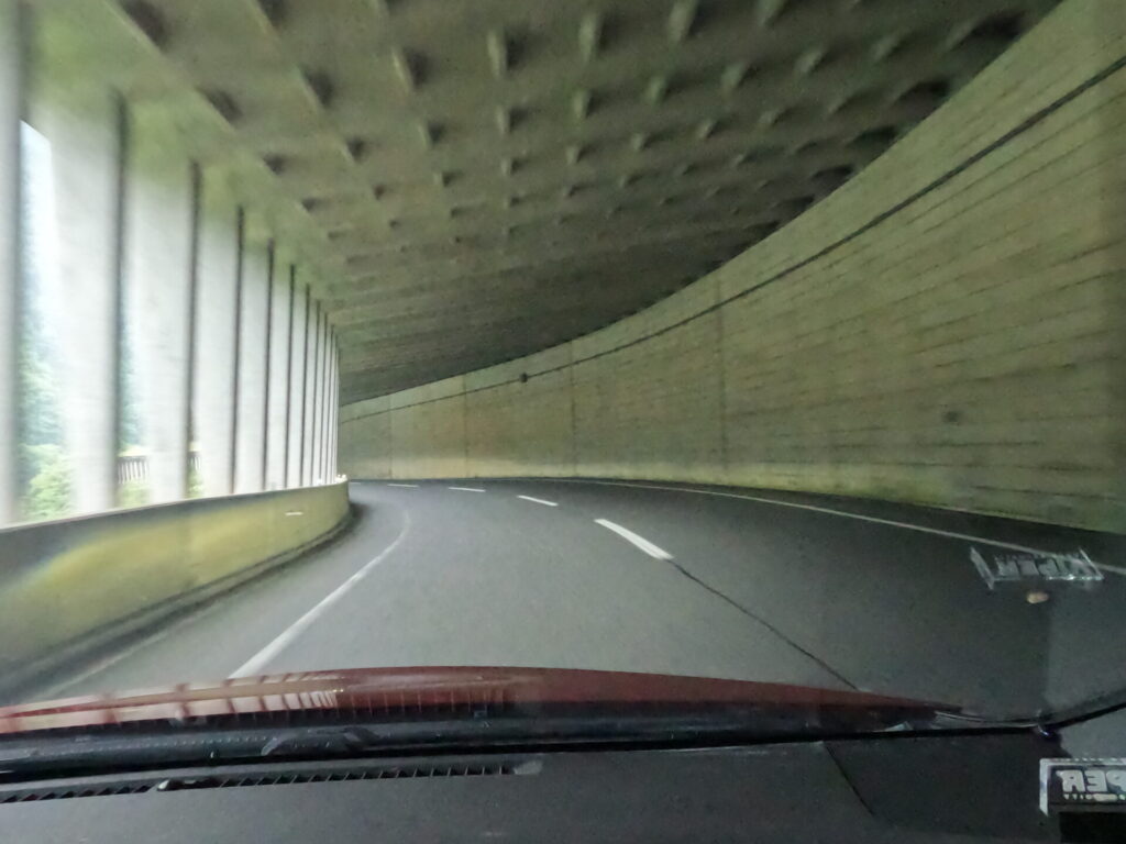
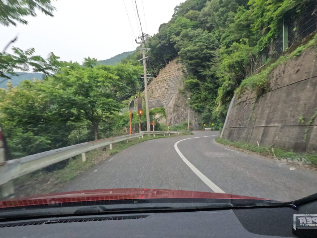
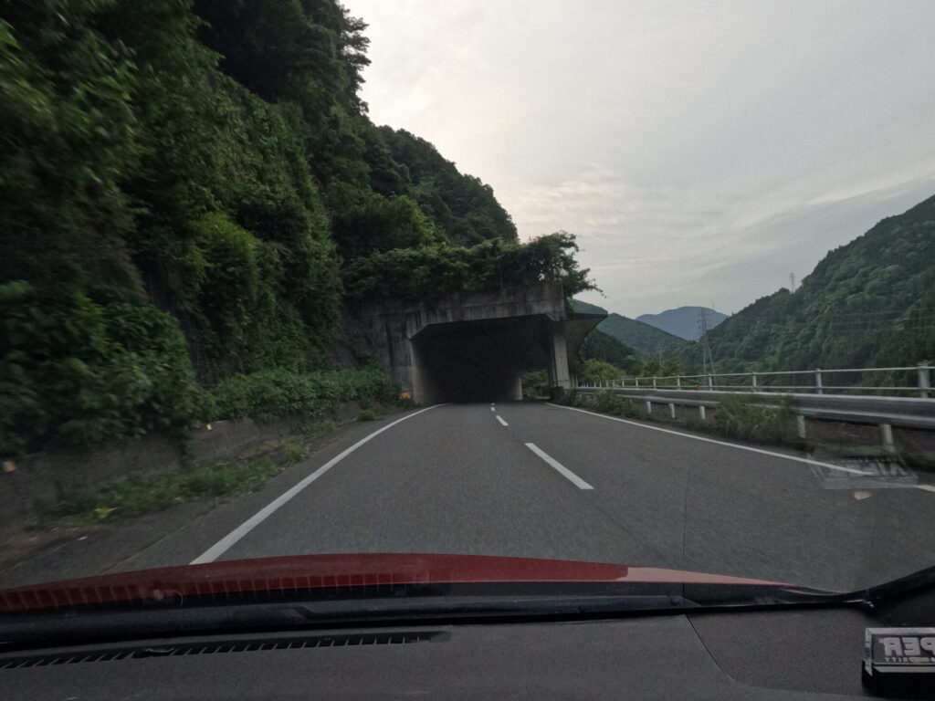
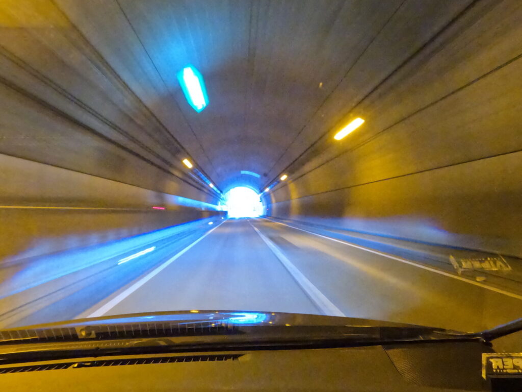
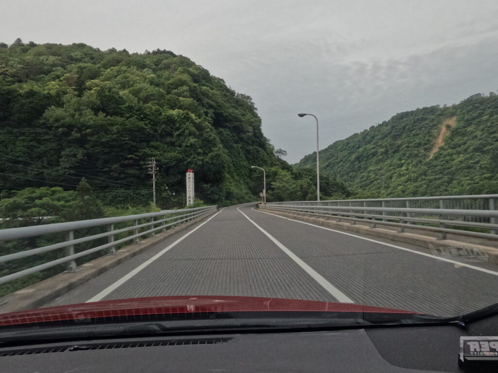
After going a little further, a concrete tunnel will appear.

Construction on the bridge has been ongoing on the right, but I wonder when it will be completed.
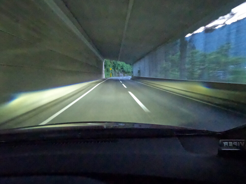
On the right side of the tunnel, you can see the outside scenery between the pillars.
After passing through, the road suddenly becomes narrower, so be careful. It is also possible that there will be a large truck coming towards you.
Also, beyond this left curve is a village. Being reckless is prohibited.
Recently, civil engineering work has been carried out, including a pedestrian bridge and bank protection work, as well as widening the road.
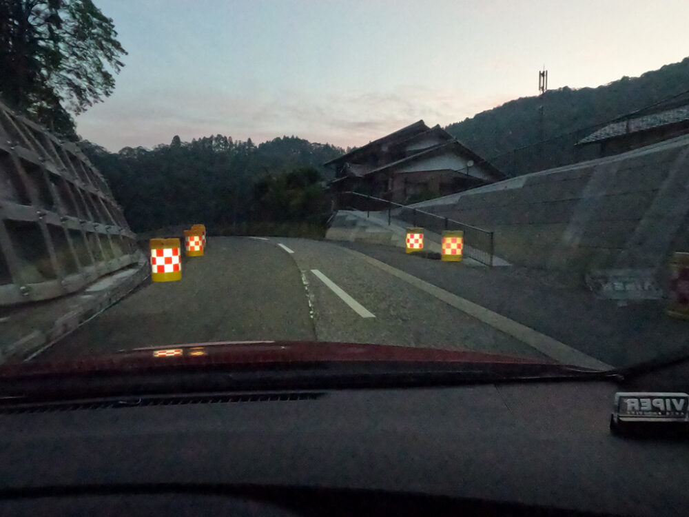
It’s still narrow and visibility isn’t great, so you need to be careful, but it’s now easier to pass through.
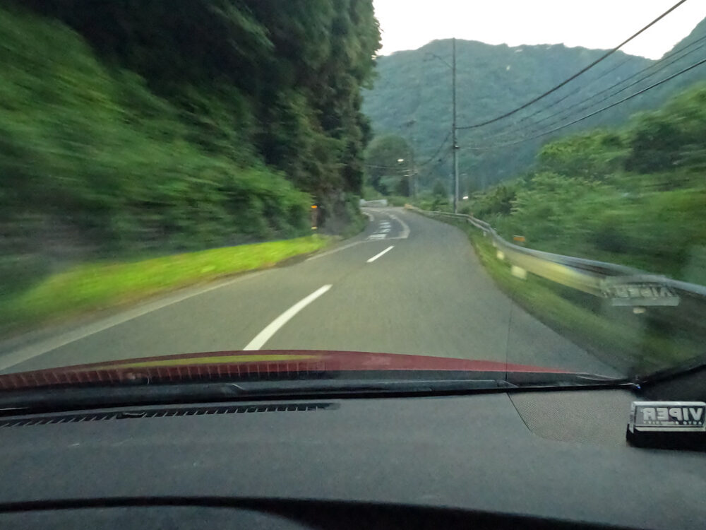
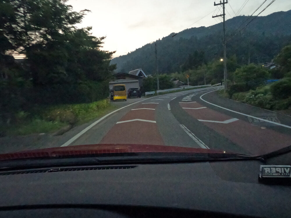
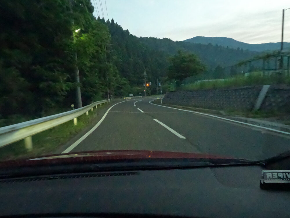
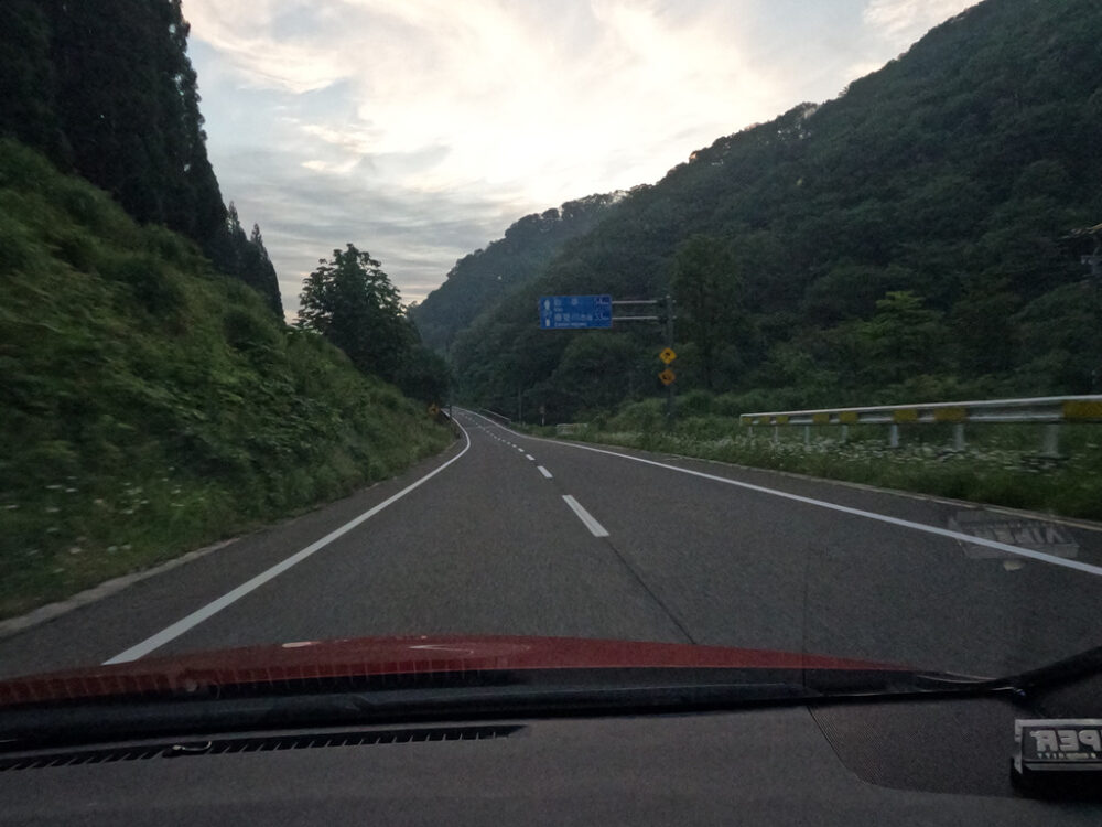
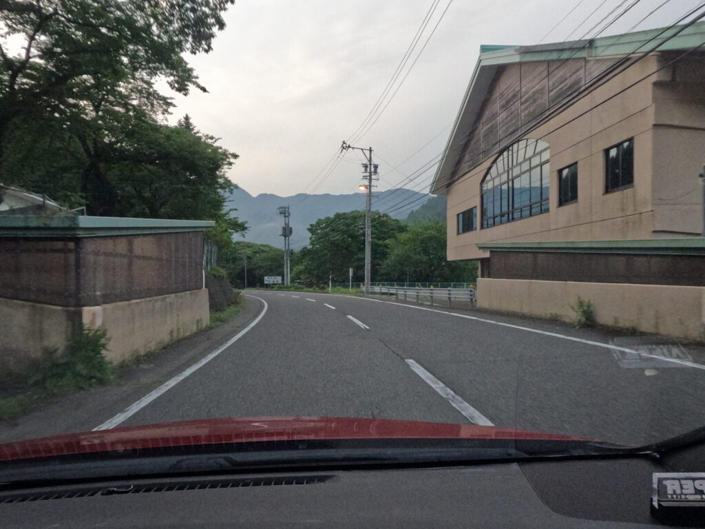
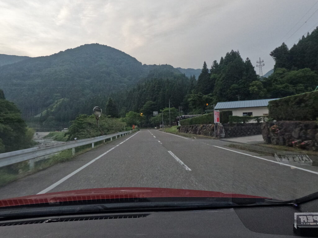
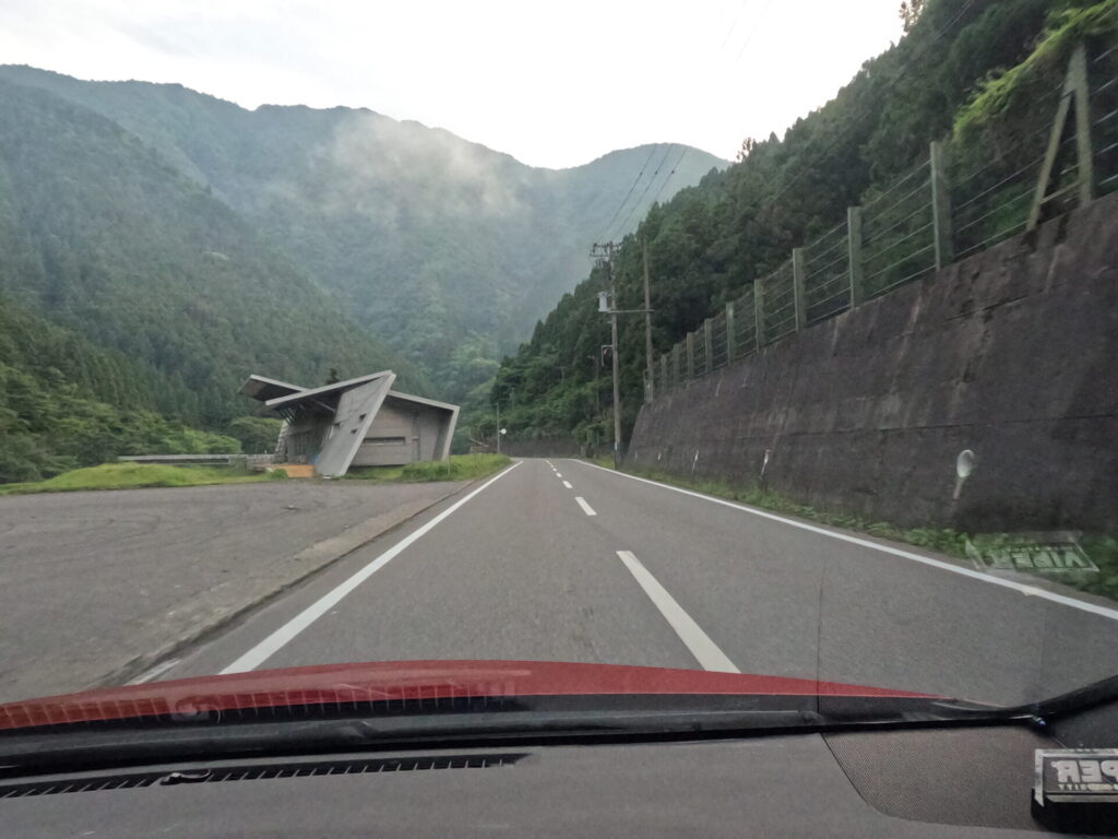
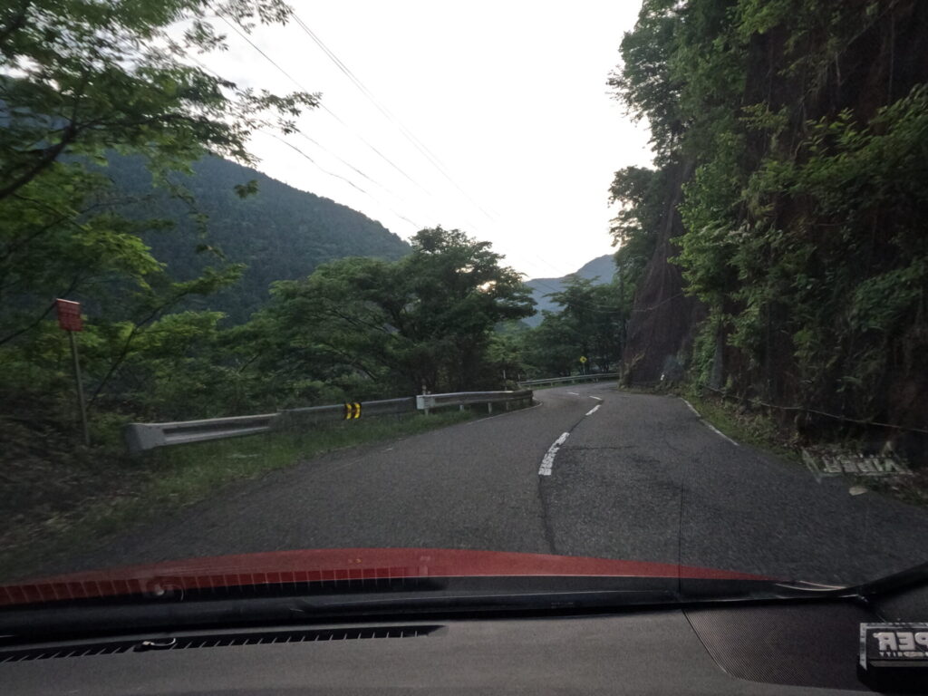
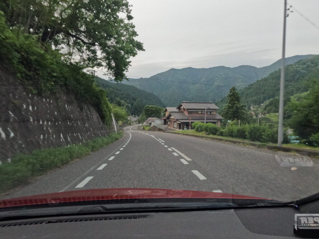
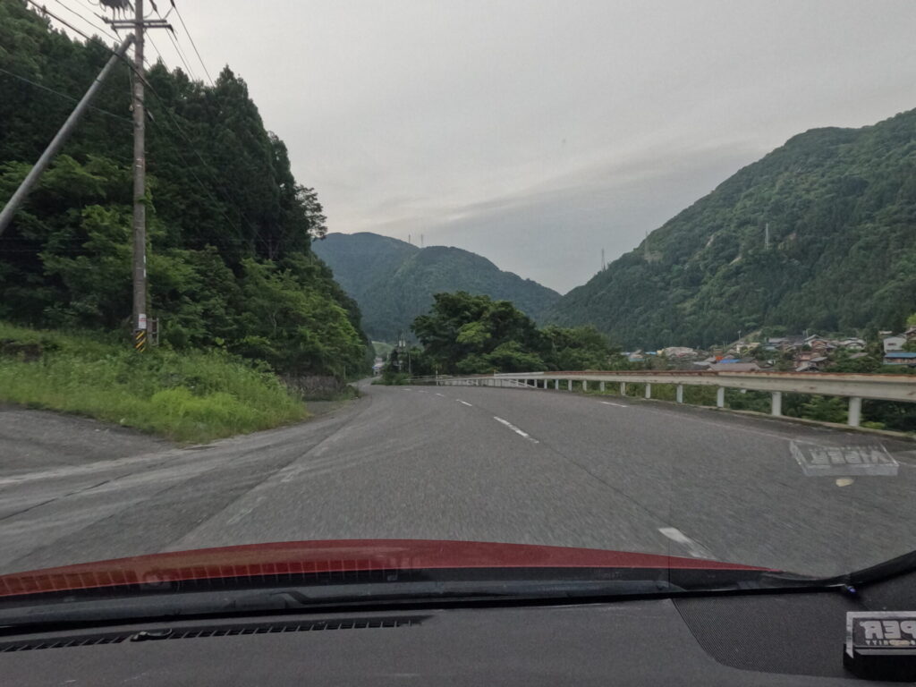
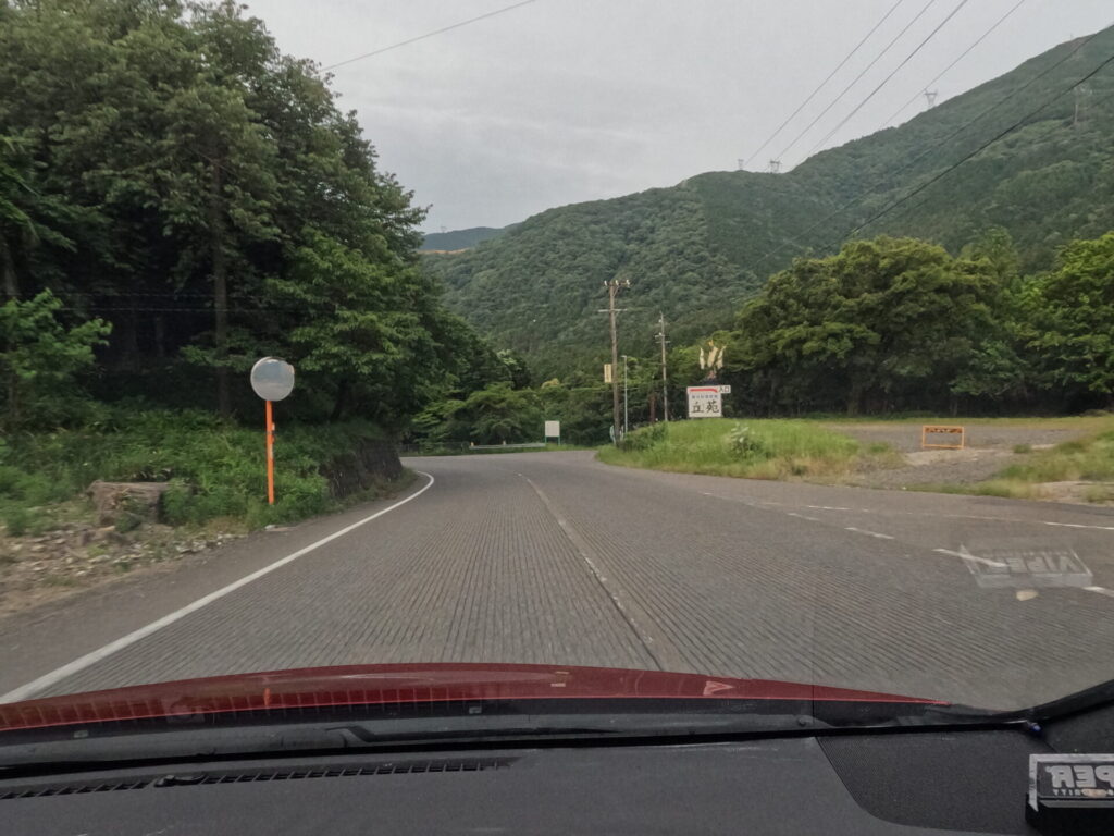
A left turn that takes a fair amount of speed from a downhill slope. Be careful of the course ahead.
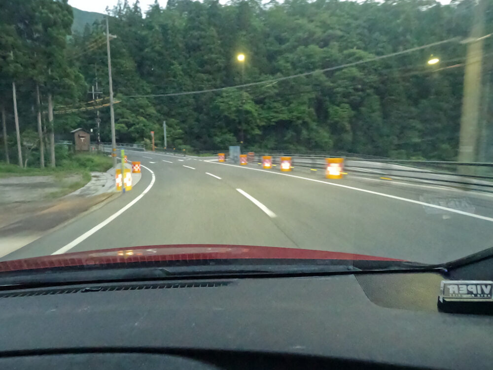
Characteristic facilities and a short straight line with good visibility.
The opportunity to overtake has arrived.
As usual, continuous cornering at the end of a straight line is difficult, but you can enjoy cornering in the fairly wide lane width.
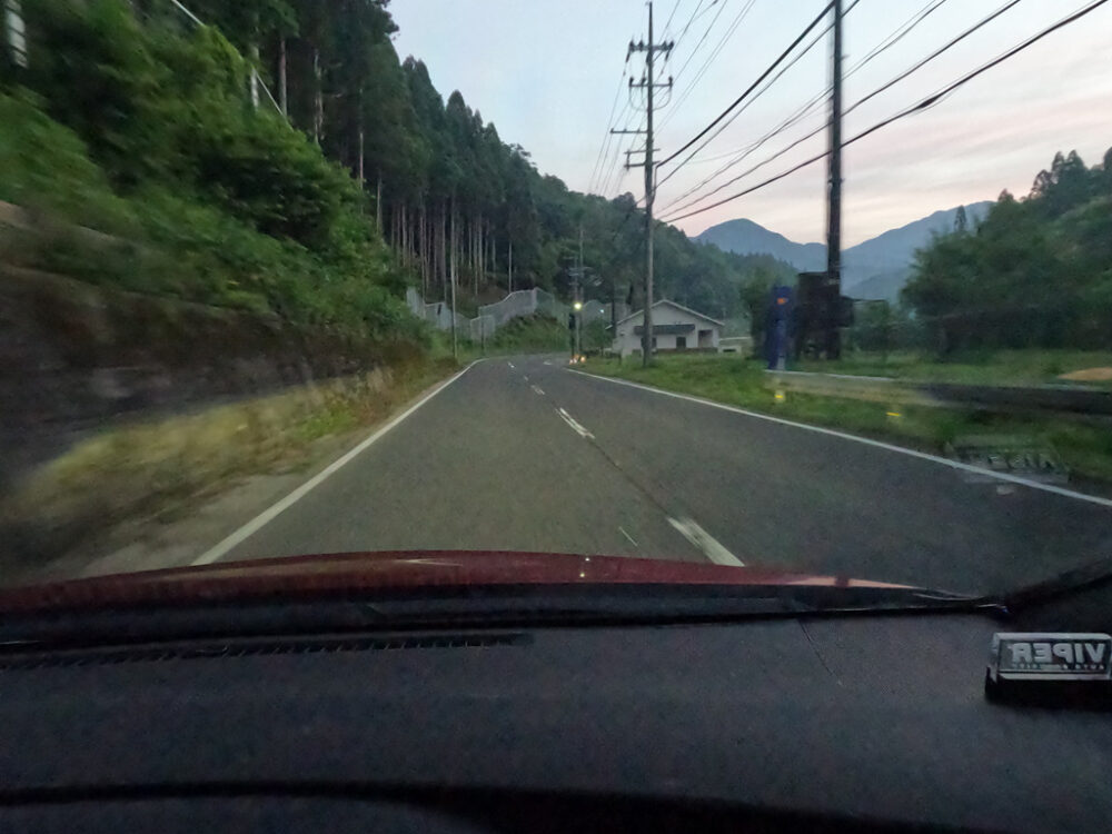
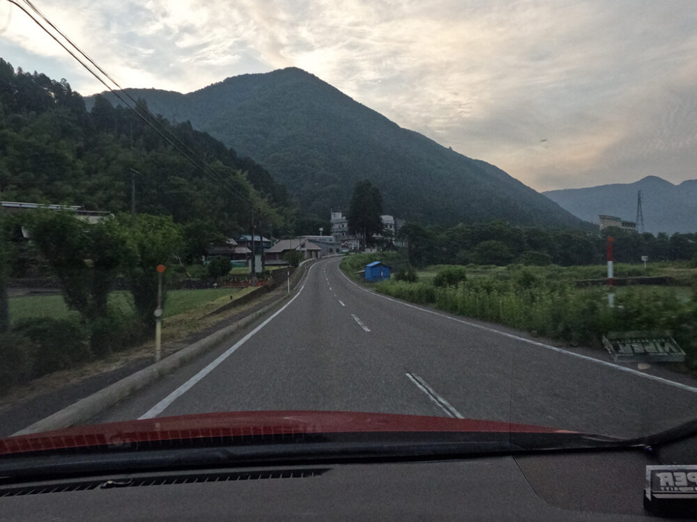
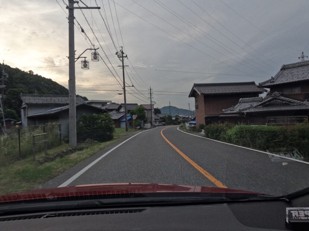
A river flows right next to it on the right, and a village is on the left. If you come during daylight hours, the clear stream will soothe you.
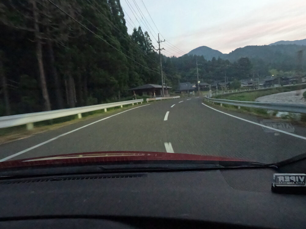
It was just around the time of sunrise, so the brightness, traffic, and everything else were in good balance.
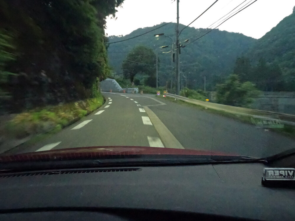
The road surface is vertically grooved and the curves are surprisingly sharp, so be on the lookout for oncoming traffic.
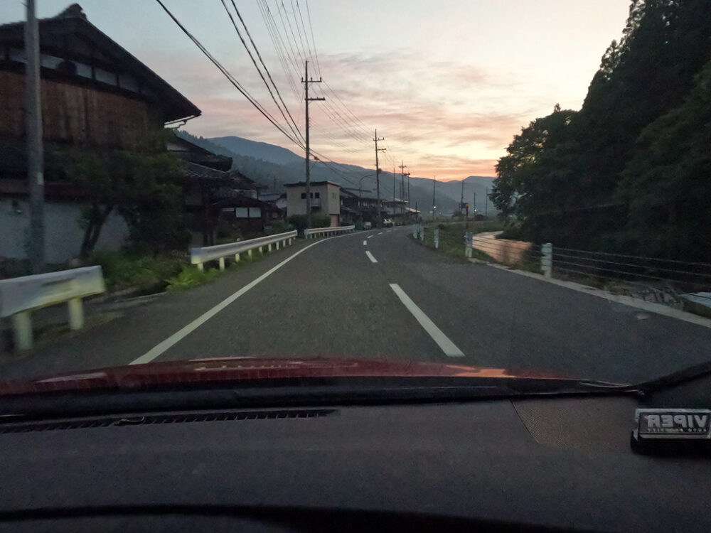
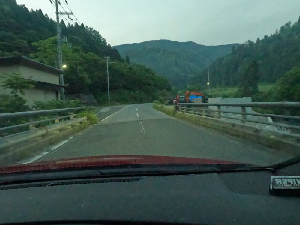
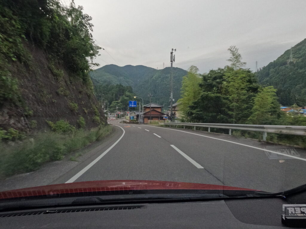
Go inside the village. A right-hand curve with a long turning time. This is a stressful section in rainy weather.
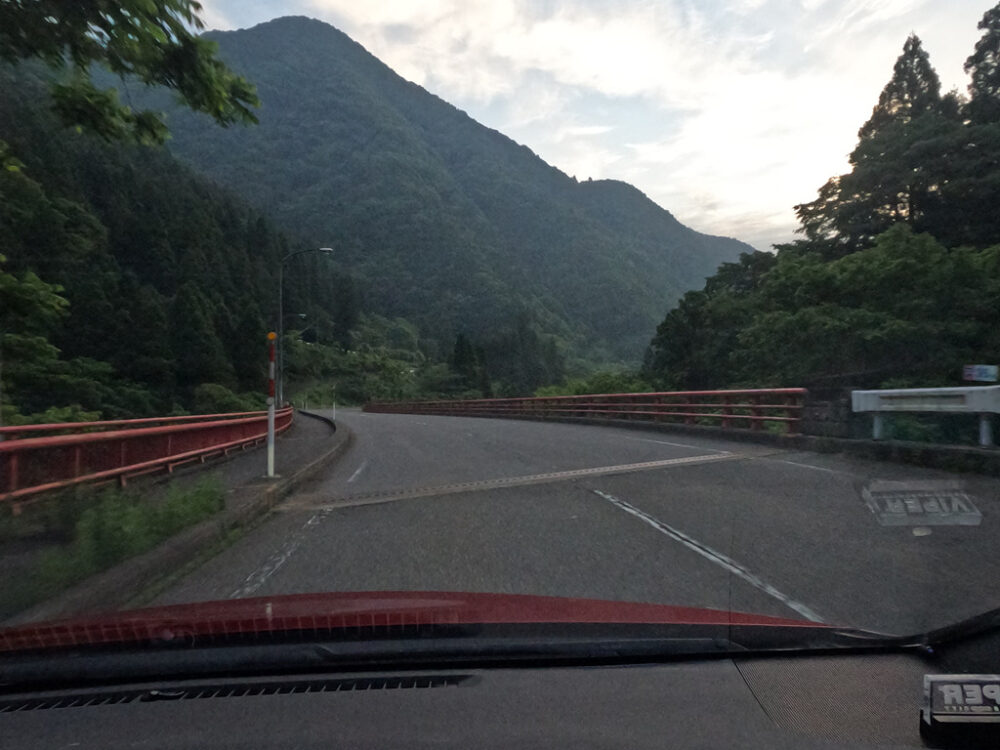
After crossing the red bridge, turn left.
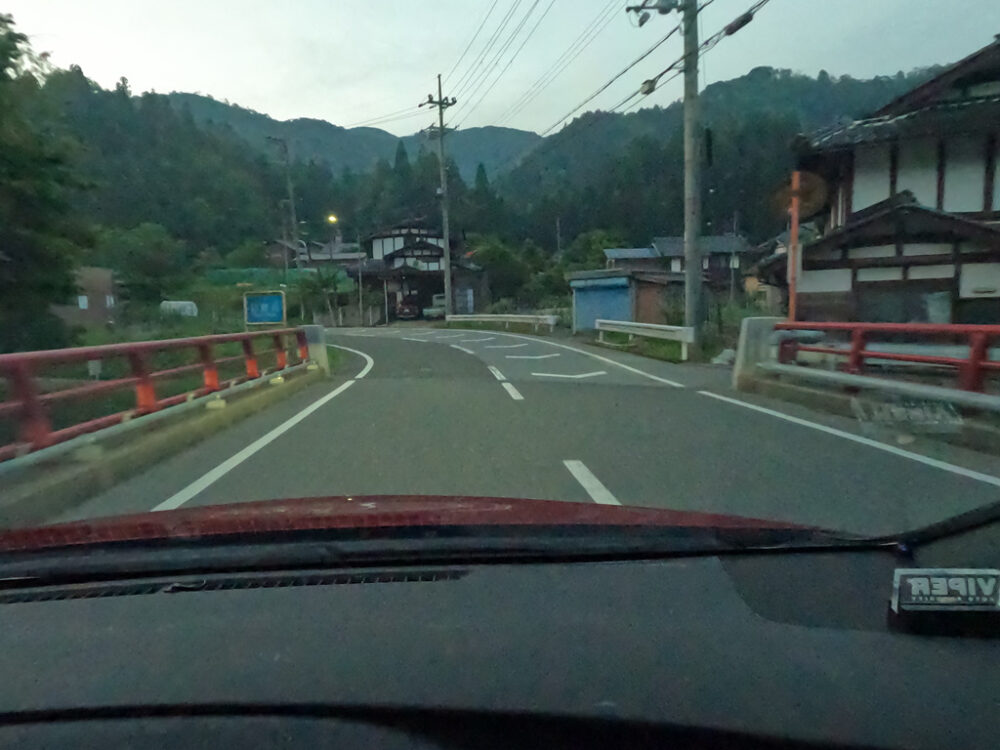
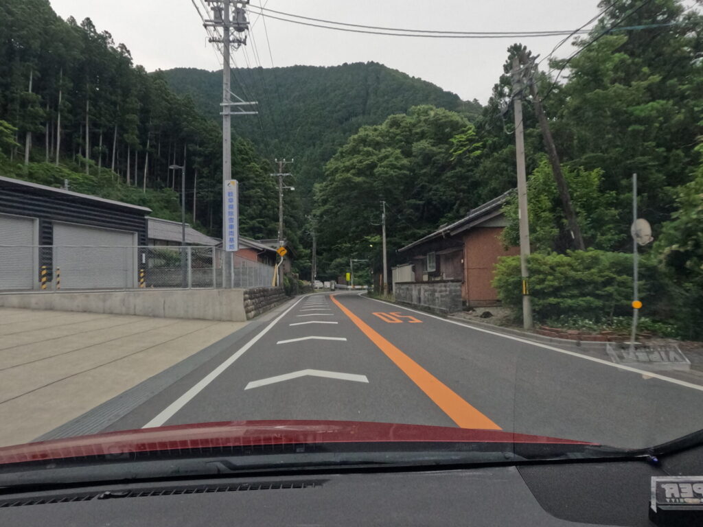
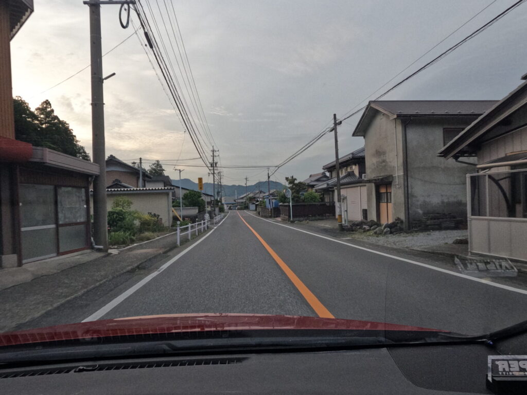
After that, there is a fairly long straight line, but since it is still within the village, try to slow down. The sound of the engine and the speed.
Once you exit, you will run through the forest for a short distance.
There is a right-hand curve next to the elementary school, where there is a traffic light that seems to be a push-button type.
Let’s go through this curve with safety first.
The area on the bridge gets narrow quickly, so consider oncoming traffic when choosing your line.
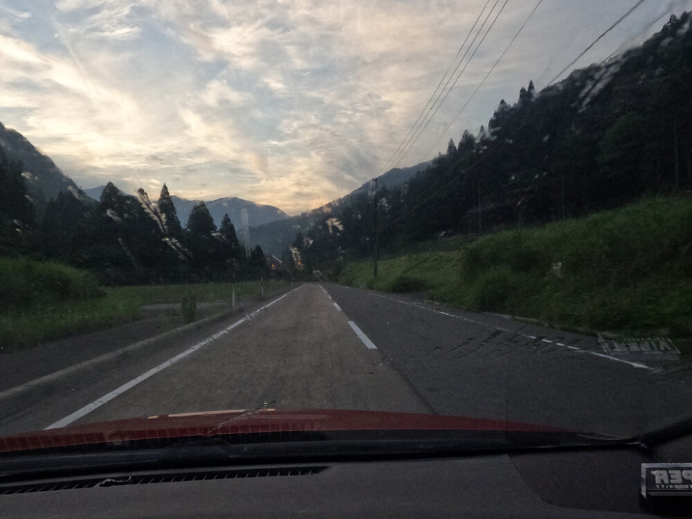
A straight line that feels like it goes on forever. The altitude is increasing, and we are approaching the highest point of this section where it feels like heaven.
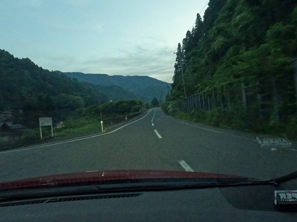
A bridge appears at this altitude and forest density. You can feel the freedom of being freed from human civilization.
I took a commemorative photo in this section. The current is fast and there are many curves, so be careful where you park.
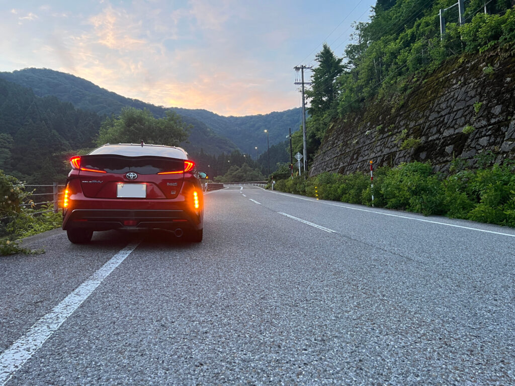
The scenery deep in the mountains with nothing but fresh greenery is truly spectacular.
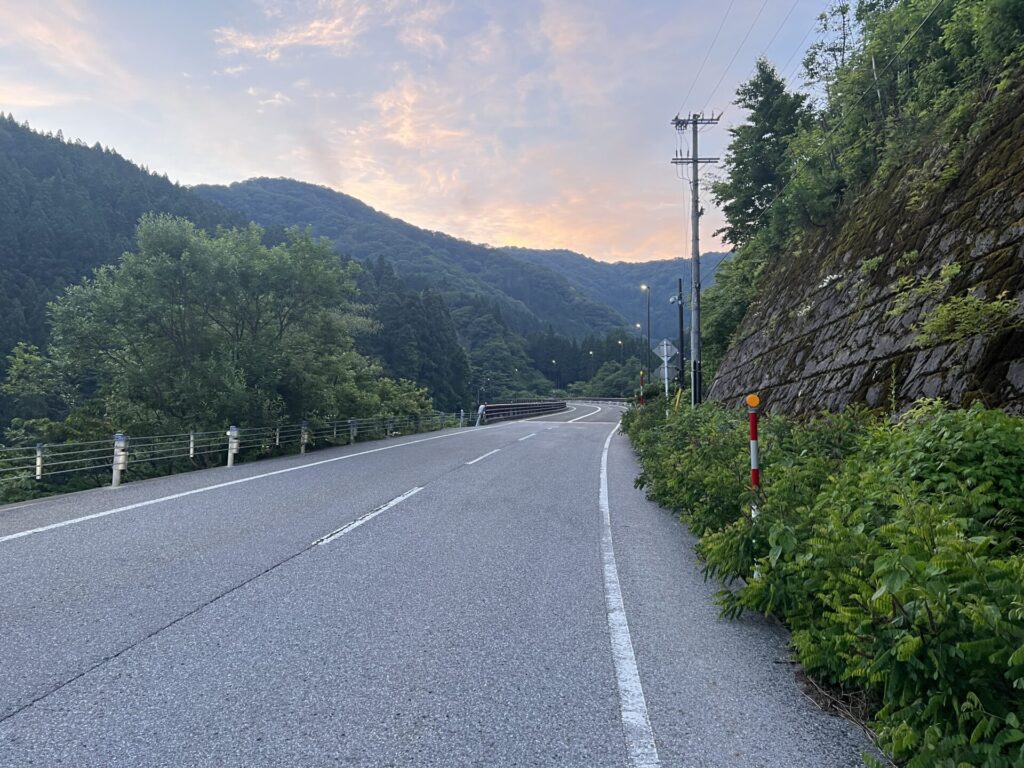
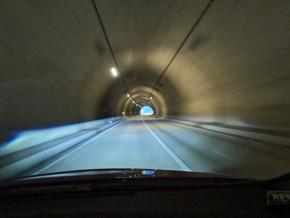
After passing here, it’s a straight line that feels like it’s about 4km long. There are almost no oncoming cars, and it is essentially a highway. It could be called the fastest test section.
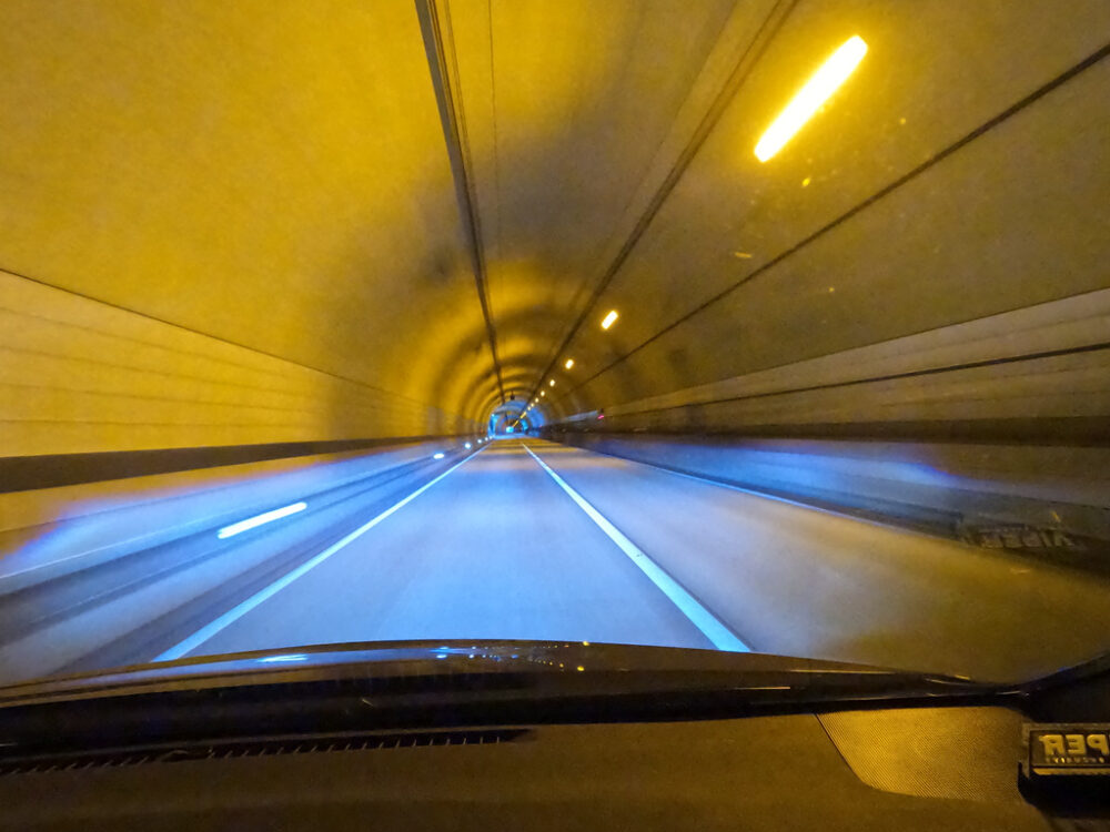
You never know what will happen at the tunnel exit. Make sure to slow down enough before exiting.
We descended while maintaining high speed, and the road snaked to the left. It’s an exhilarating feeling, like riding a roller coaster.
A series of tunnels.
It’s a section where it’s quite easy to ride at speed, but it’s a tough corner to drive into at overspeed.
However, since you can run freely at a fairly high pace, it is perfect for practicing load transfer and driving.
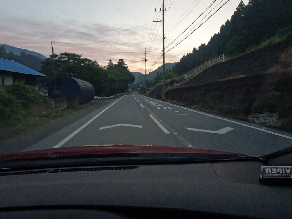
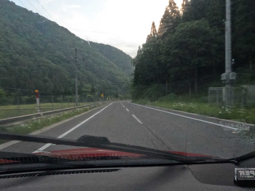
It descends into the village again. Pay close attention to sound and speed.
A constantly changing landscape. Also, when moving from west to east, the overall slope seems to be downhill. Even if you keep going, the speed will pick up.
There are no traffic lights. There are times when the traffic is so light that you won’t pass a single car for an hour.
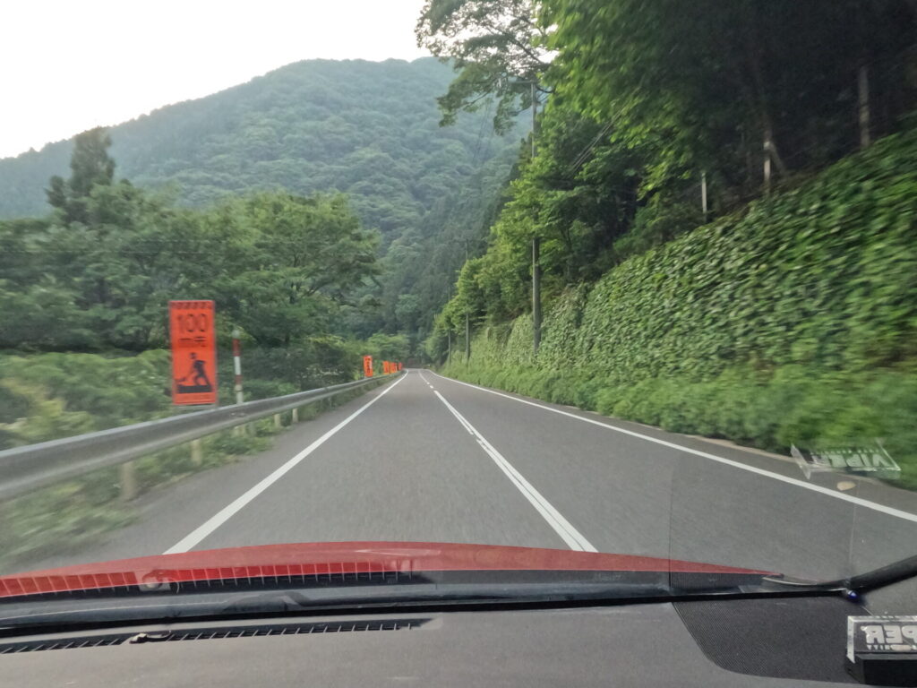
Clean straight sections with good visibility using washer fluid. At this time of year, the invasion of insects is intense.
We cross a bridge whose paint has slightly faded.
It’s a village again, but it’s an exquisite undulation. I don’t feel like getting bored.
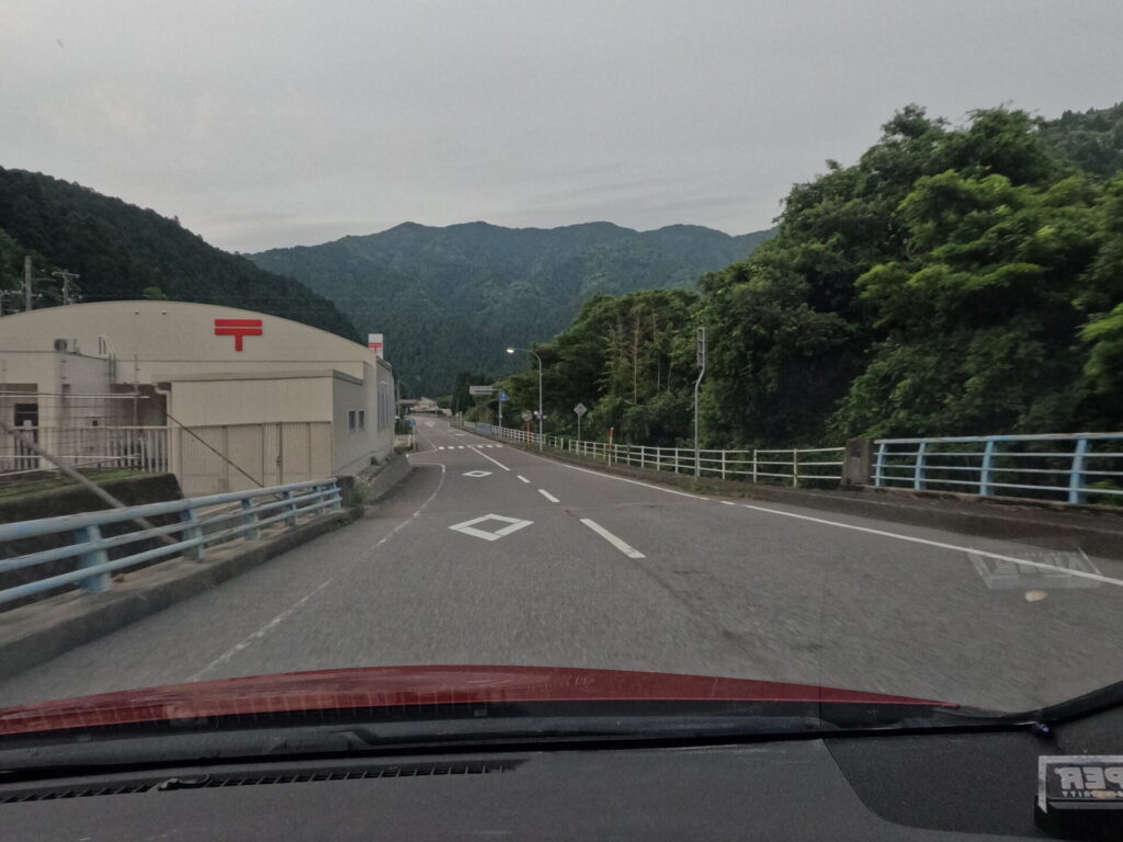
At this point, we arrived at our first resting spot, the roadside station “Yashagaike no Sato Sakauchi”.
It’s small in the middle of the night, but you can get a nice view of the mountains. Surprisingly, there is also a post office.
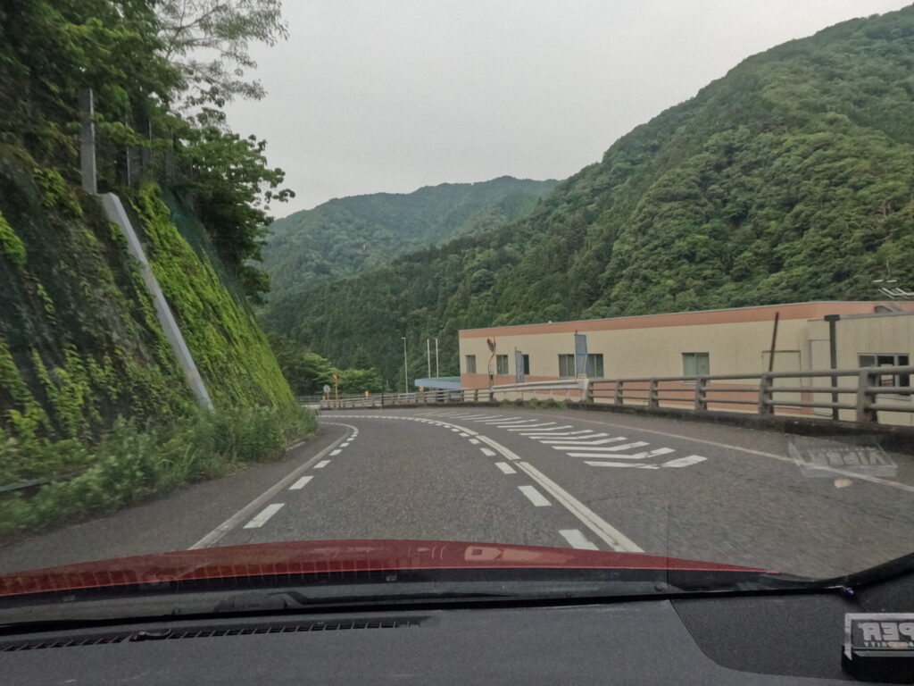
Pass through some kind of building and an underground passage. Keep your pace down.
You can see collapsed houses and a building that looks like a concrete factory.
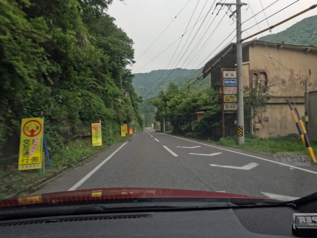
This time, you can see the Sakauchi River on the left. There is a traffic light around this area that allows alternate traffic on one side.
The area is susceptible to natural disasters. Roads are well maintained as part of the infrastructure for daily life.
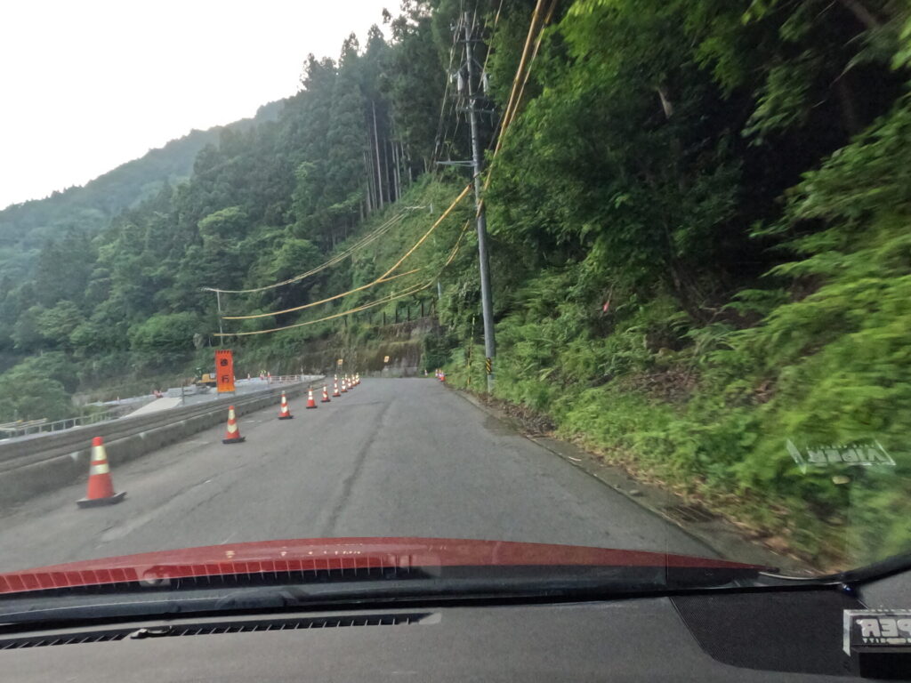
From here, even if a straight line appears, you can’t feel safe.
We entered a section with narrow roads and extremely sharp curves.
You’re out of the tunnel!!
There seems to be some kind of facility, but there are remains of a donut turn in the parking lot. Gifu’s runners are of a low level.
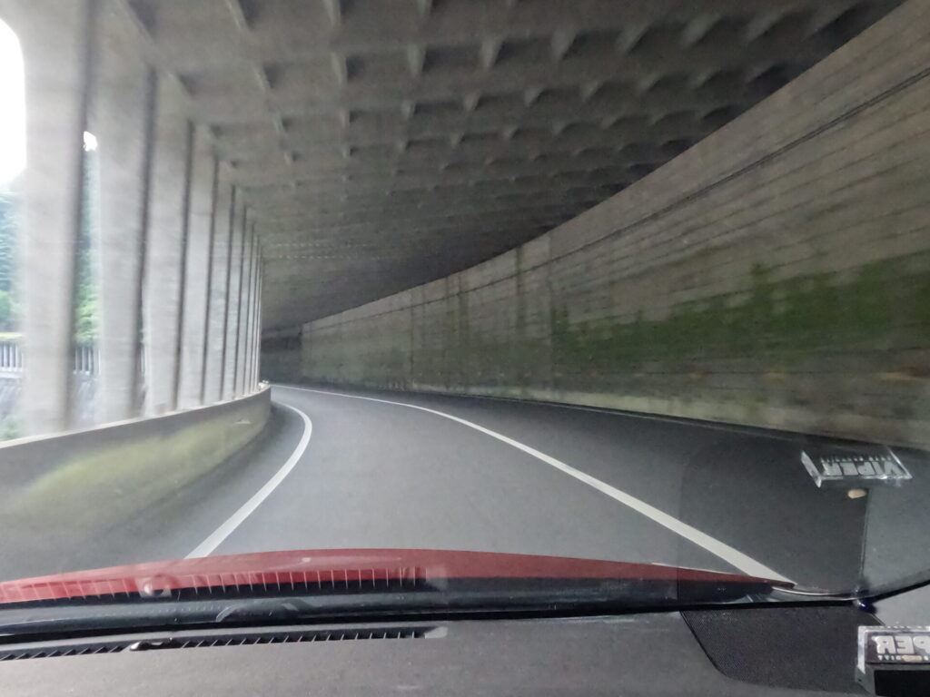
Inside the tunnel, you can see a view of the cliff through the gap on the left.
There are sections where the trail suddenly curves sharply, so you can’t let your guard down.
Can you get a sense of how narrow the road is from the photo?
It’s a curve that forces you to brake in the front and rear directions while using tire grip in the horizontal direction. Narrow width is more important than horsepower.
From the end of the curve, Yokoyama Dam came into view.
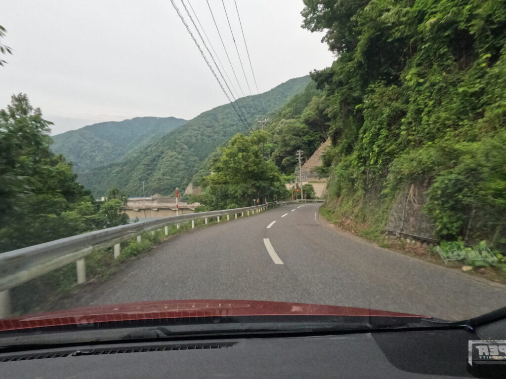
This is also in good shape. It’s a shape that makes you think about the distribution of tire grip surplus.
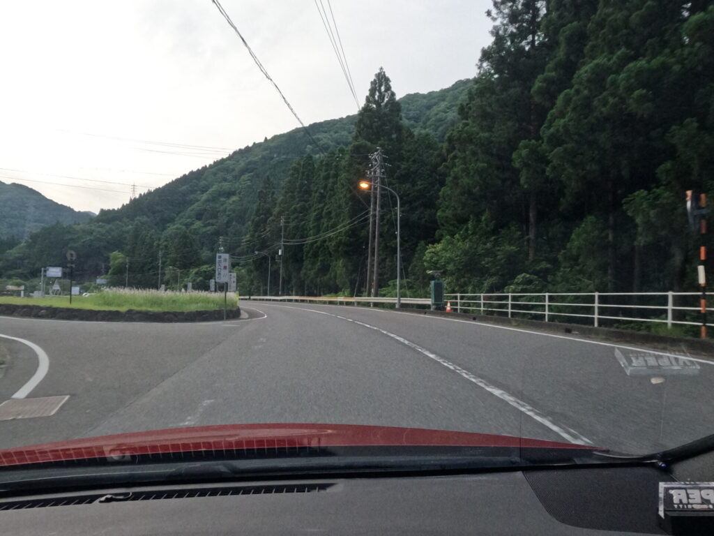
After crossing the distinctive bridge called “Okuibiko Ohashi”, turn right at the end. Pay attention to the movements of cars coming from the left and right.
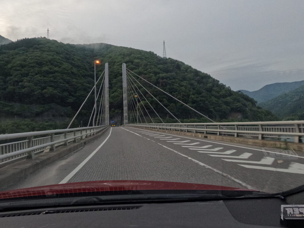
From the looks of it, there are signboards lined up that are clearly not open. I feel the times.
When making a sharp curve on a downhill slope, try to control it.
Also the best straight and downhill combo. It’s easy to drive fast, but it’s in a village. Please be very careful.
The visibility is not bad, but you will need to drive with consideration to braking distance.
At the bottom of the downhill slope, there is a crosswalk that looks like I’ve hit the mark .
I want you to never lose your mind. There is a danger to life.
After a short drive, you will arrive at “Roadside Station Hoshi no Furusato Fujihashi”.
I passed through it, but there seems to be a hot spring there as well.
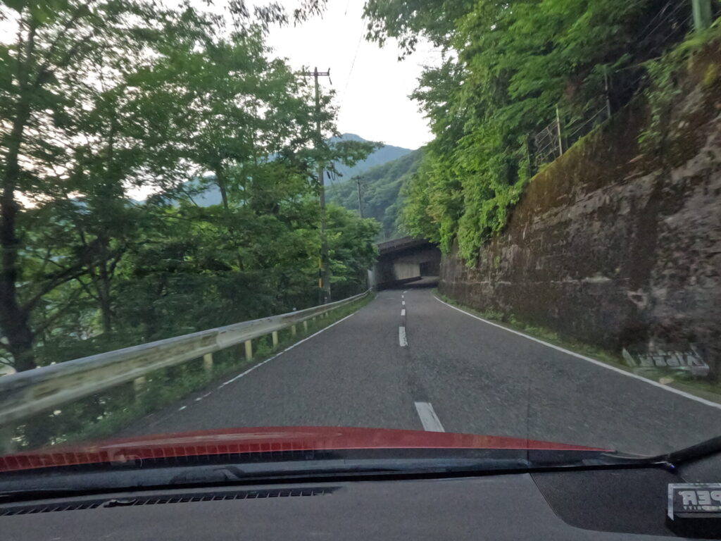
After passing here, there is another concrete tunnel with only one side open. Run at quite high places.
Run down from a high place with good visibility while passing through multiple tunnels.
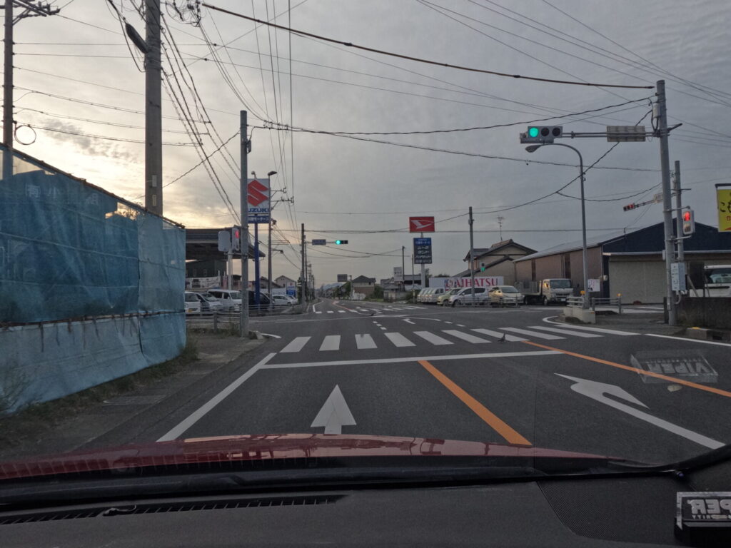
There are residences and traffic lights at the lowest point, so you can’t let your guard down as usual.
If you turn right at this JASS intersection, there is actually a public toilet, although it doesn’t seem to be on the map.
There seems to be a portable Orbis next to the police box on this straight section, but no matter how many times I pass by, I can’t find anything like it. Let’s drive slowly within the village.
It’s another tunnel that seems to go on for several kilometers. In most cases, you will be blocked by elderly cars traveling at around 40 km/h, so give up.
Also, be careful as there is a fairly sharp right curve once you pass the traffic light.
Even after passing through the tunnel, the easy road continues. At the end of a speedy downhill slope, there is a sharp curve that seems to cut into you. We need to seriously slow down.
The entrance to Ogaki Country Club is located here. It takes more than 30 minutes by car from Ogaki city, so I think “Okuibi” is a more appropriate name…
As I said this, I entered the village and arrived at Nobi Plain.
This marks the end of the fast winding race.
Let’s open the windows for a while and let the gentle breeze flow by.
It was a tough drive as the birds greeted us.
I stopped by my favorite house and went home.
The high-speed interchange is far away and it is hard to say that it is convenient to go in any direction, but the article ends here.
When driving this route, we recommend taking Prefectural Route 140 from the outskirts of Lake Biwa to the Sea of Japan area of Tsuruga.

